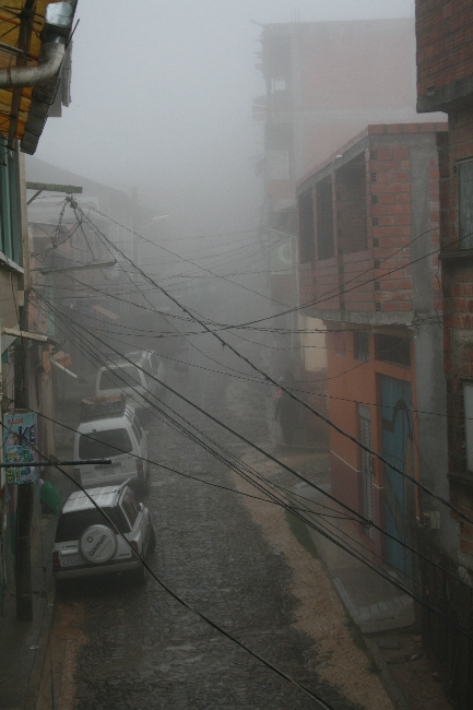
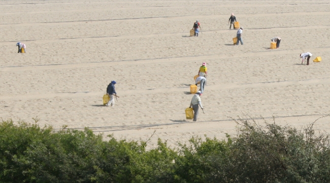
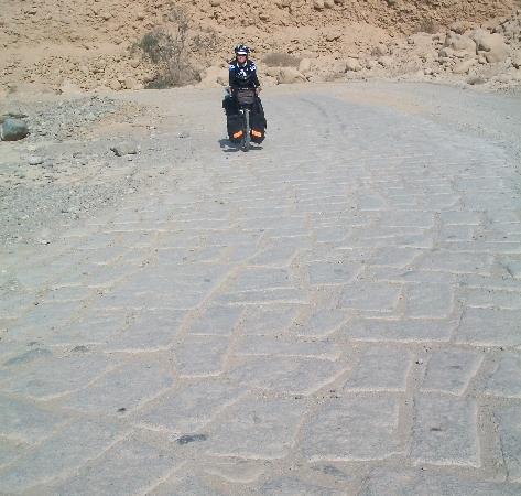
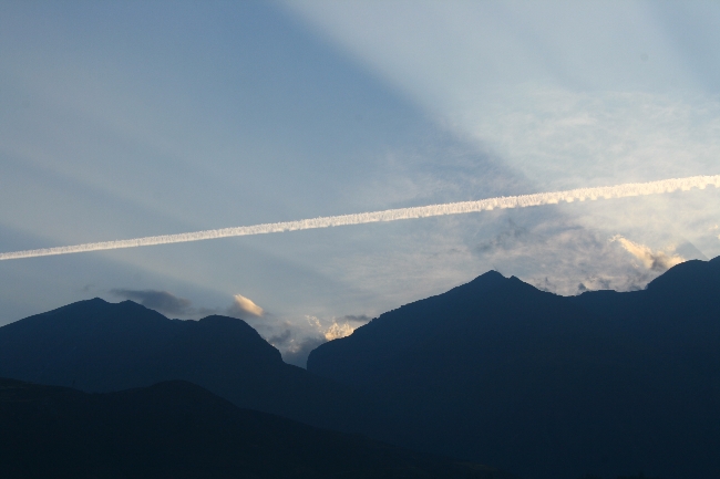
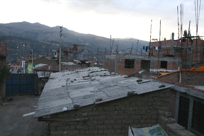
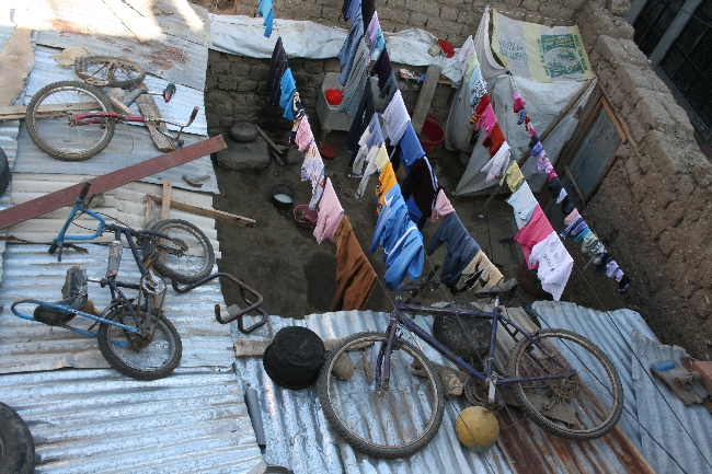
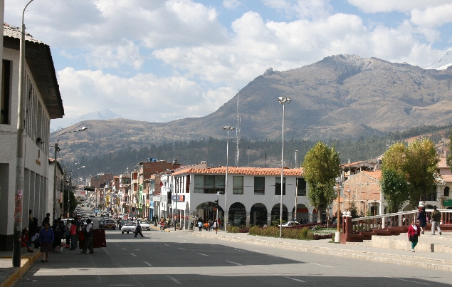
Salar de Uyuni en photos
December 23rd, 2010 · No Comments


→ No CommentsTags: Bolivie · Bolivie · Countries · Photos
Cycling the World’s Largest Salt Flat:
Bolivia’s Salar de Uyuni
December 22nd, 2010 · 2 Comments

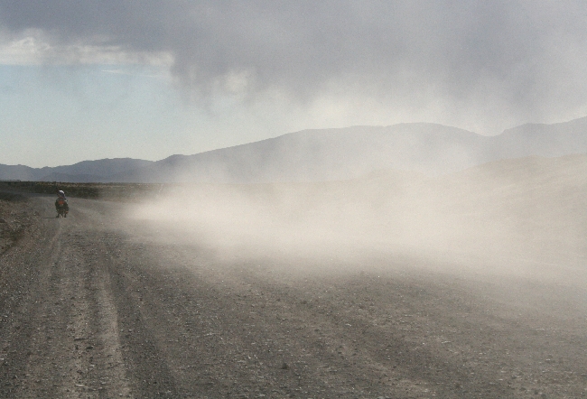

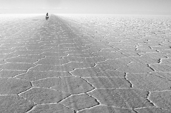
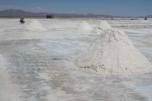
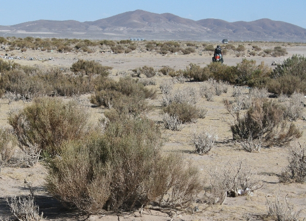
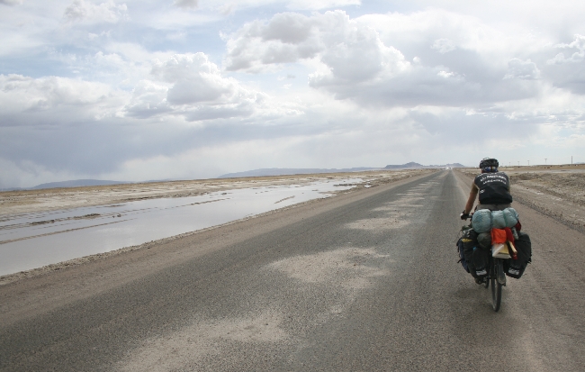
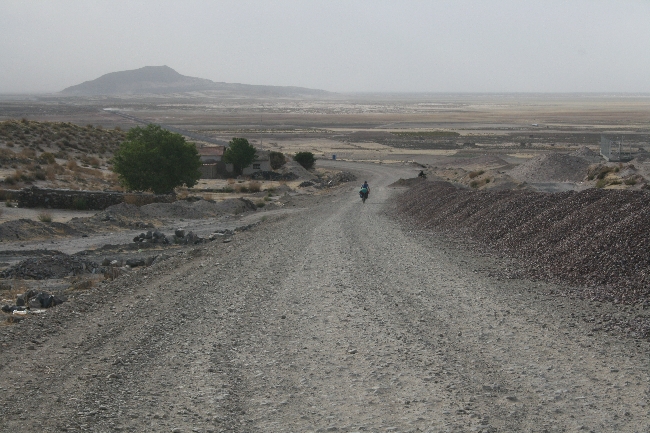
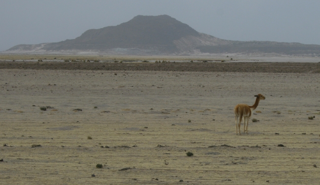
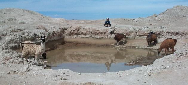
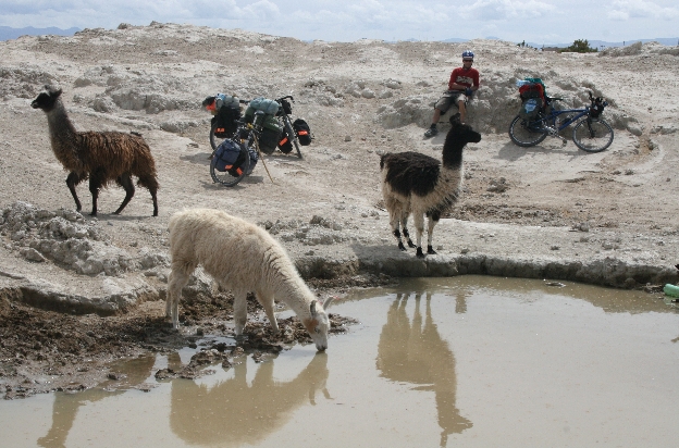
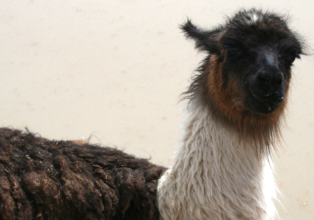
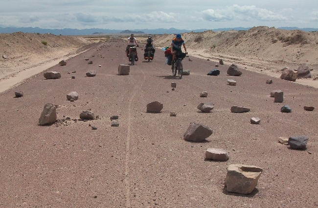
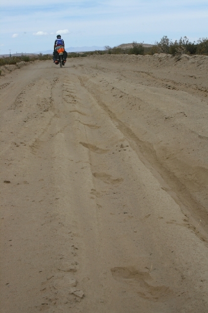
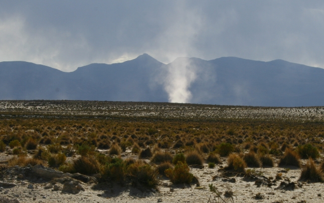
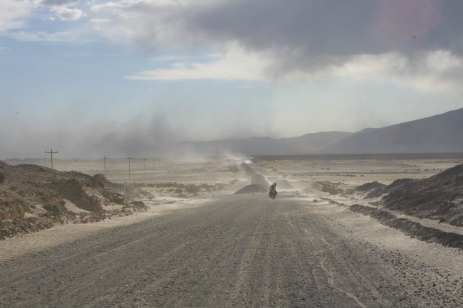
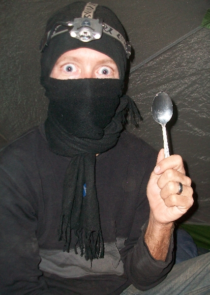
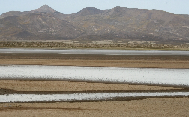
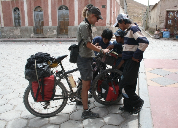
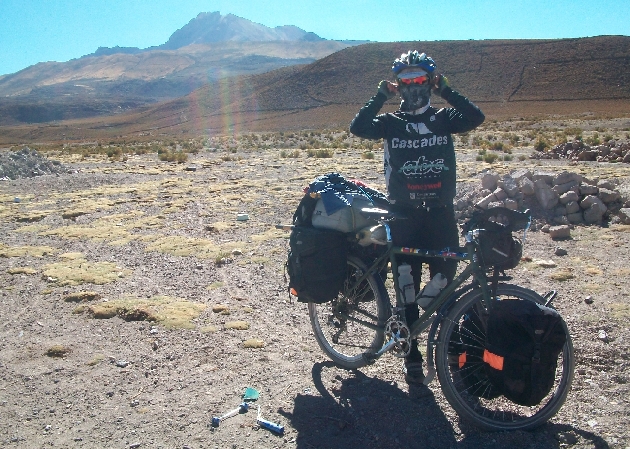
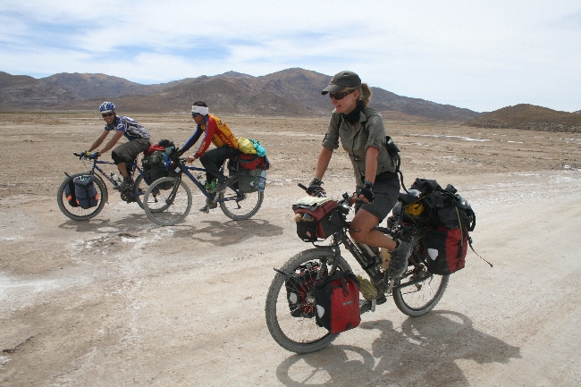
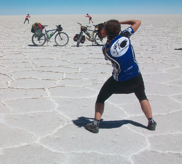
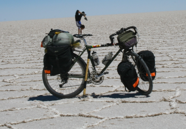
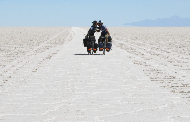
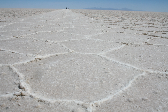
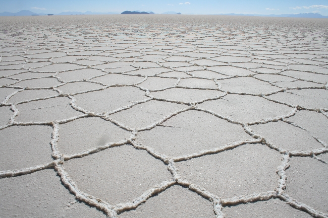
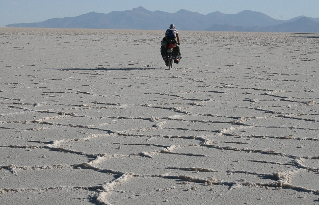
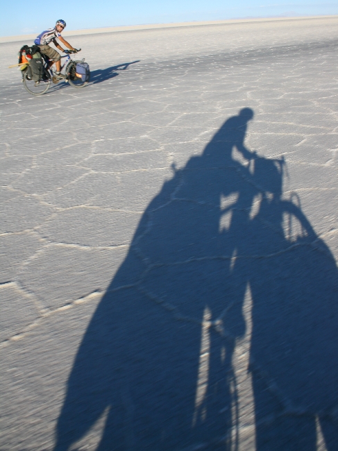
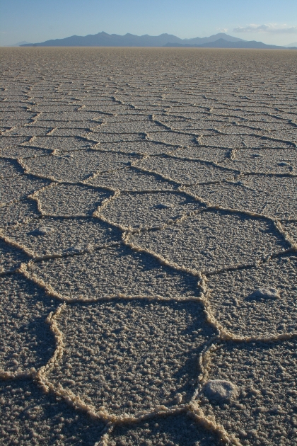
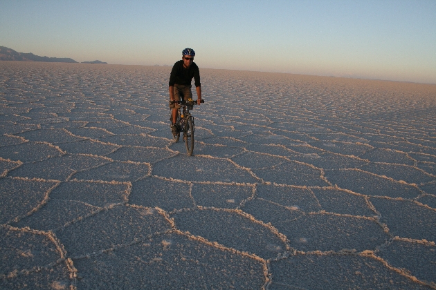
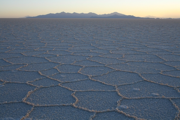
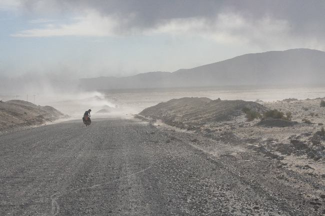
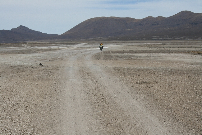
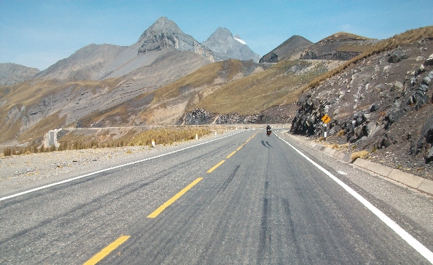
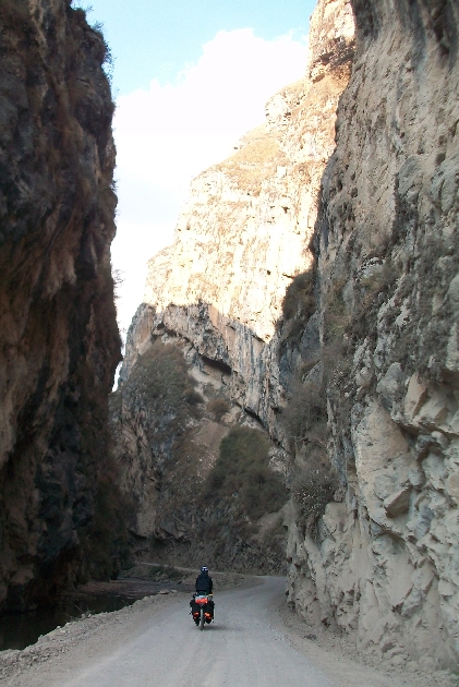
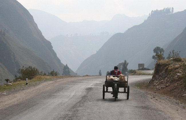
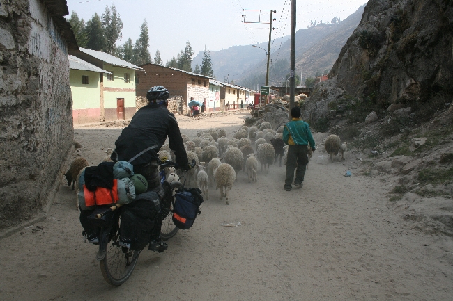
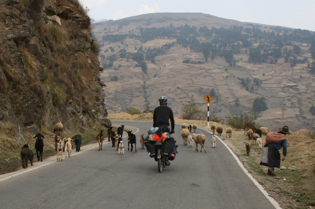
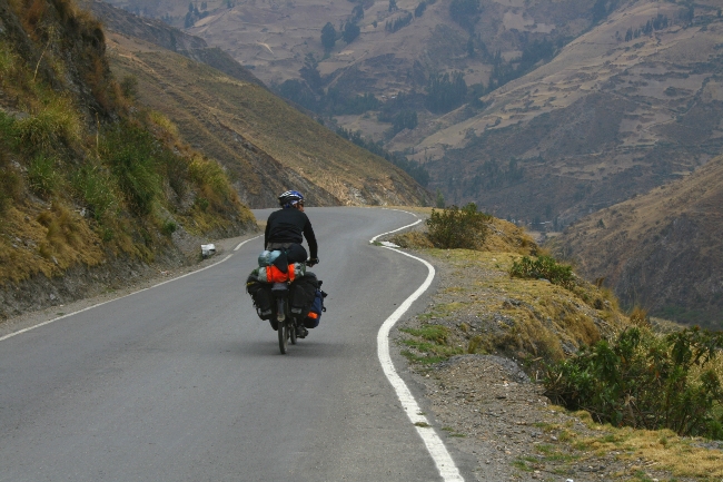
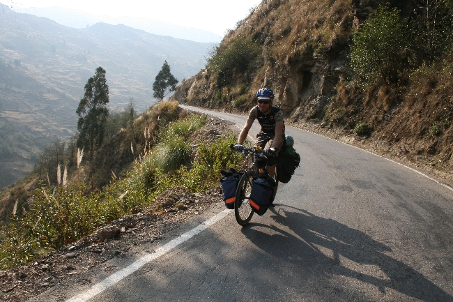
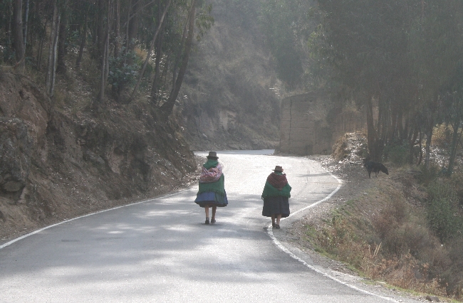
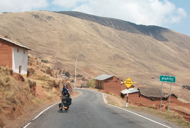
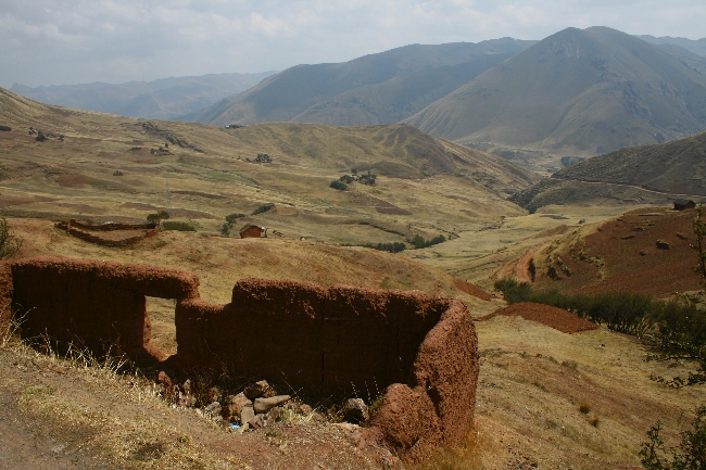
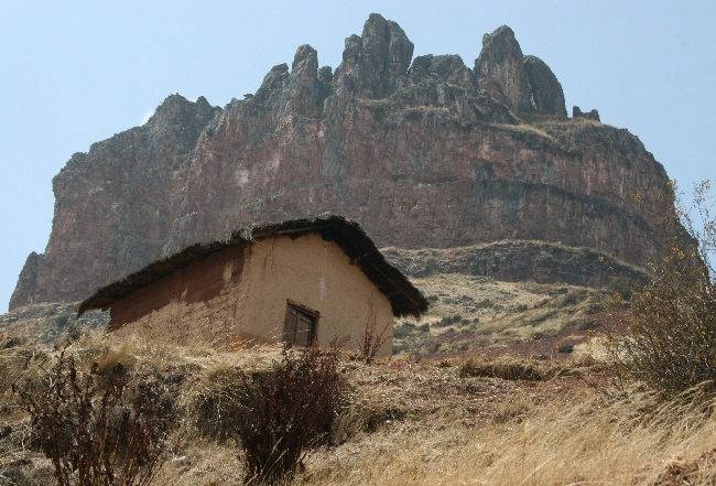
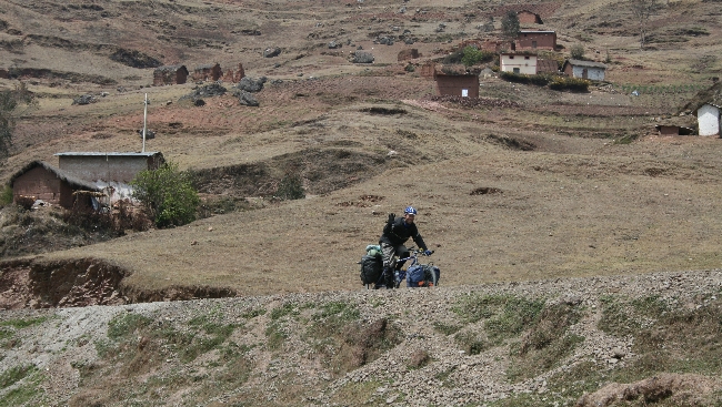
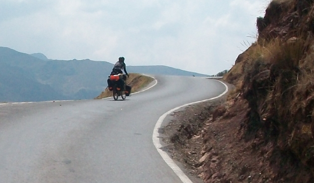
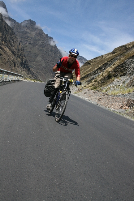
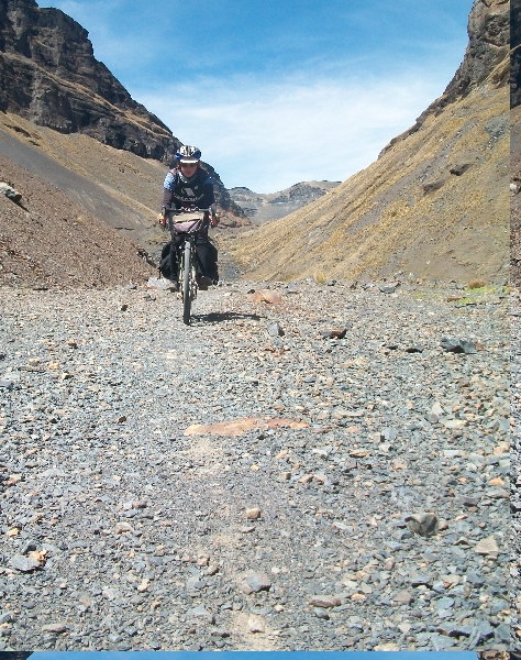
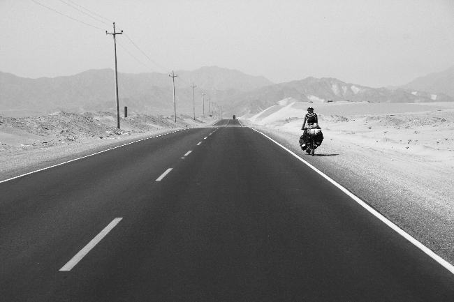
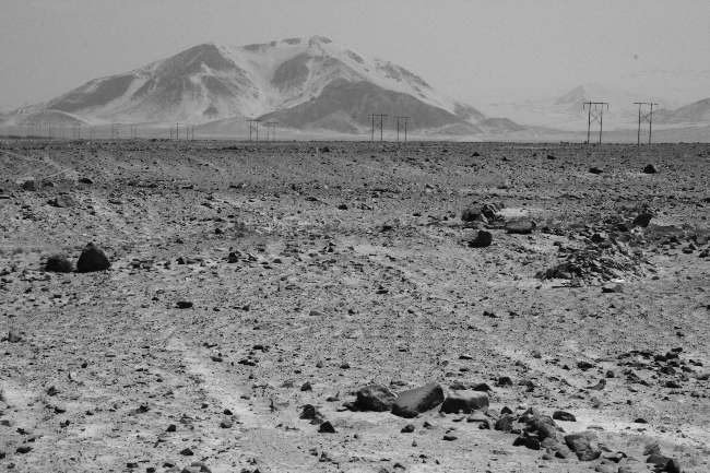
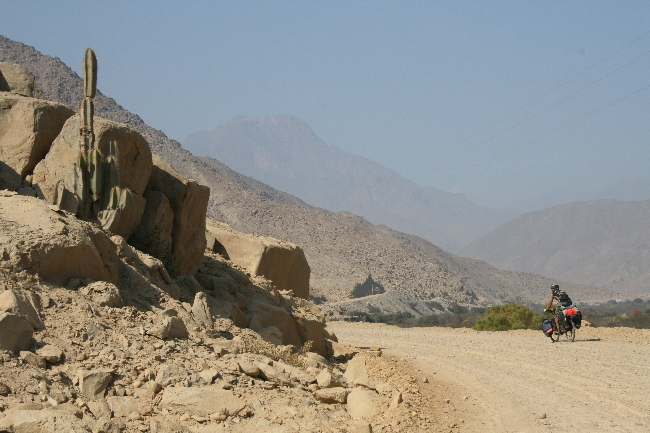
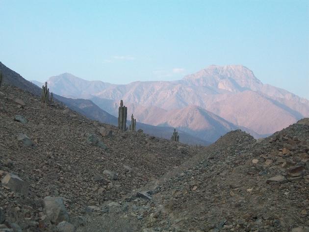
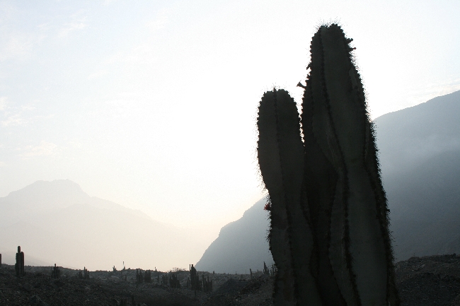
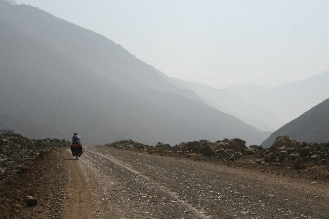
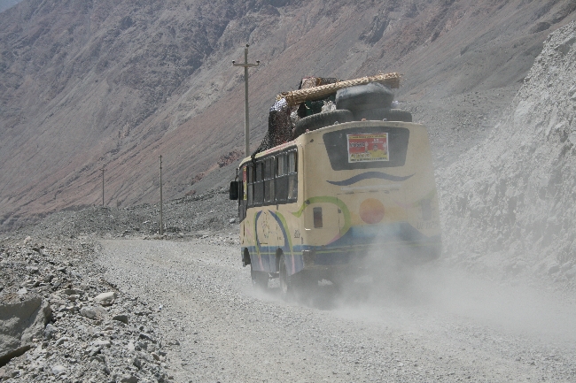
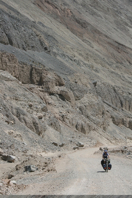
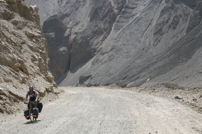
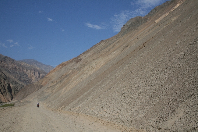
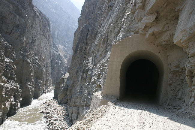
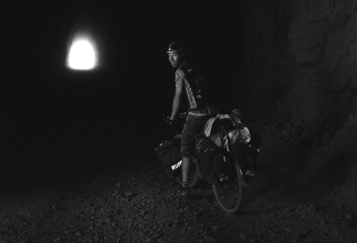
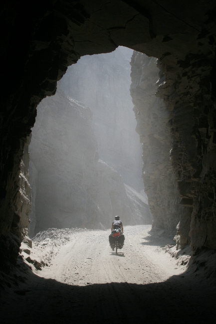
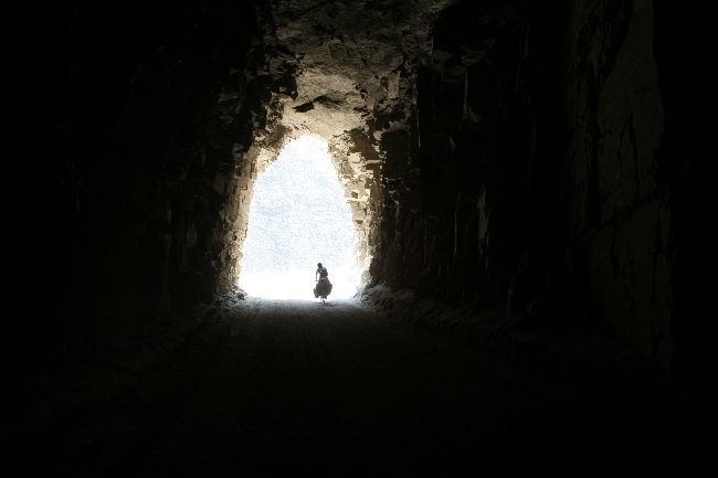
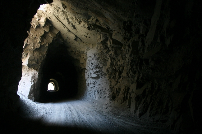
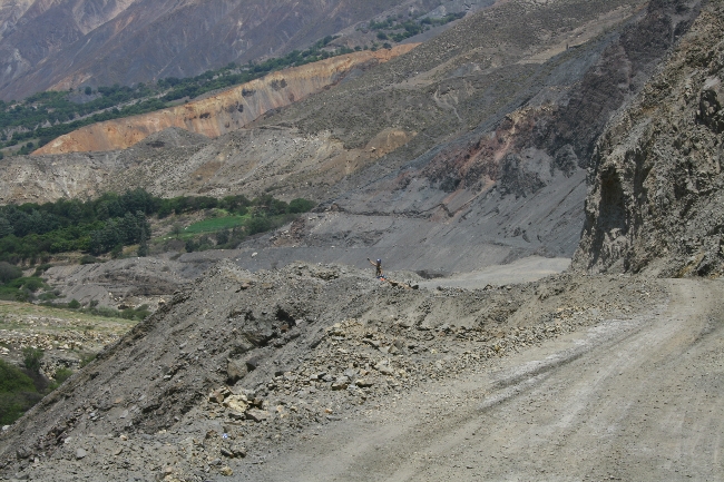
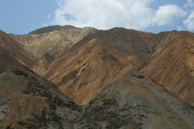
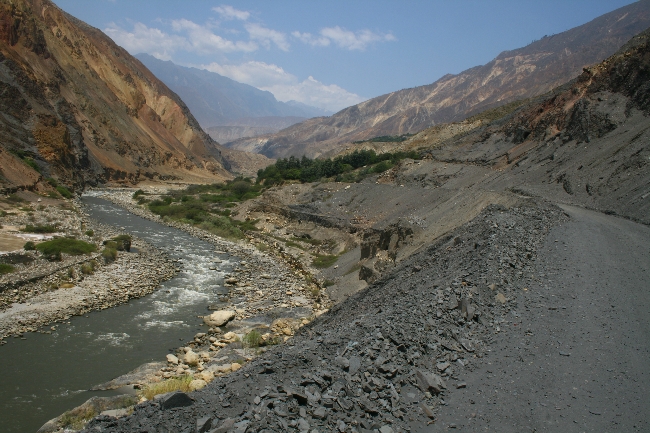
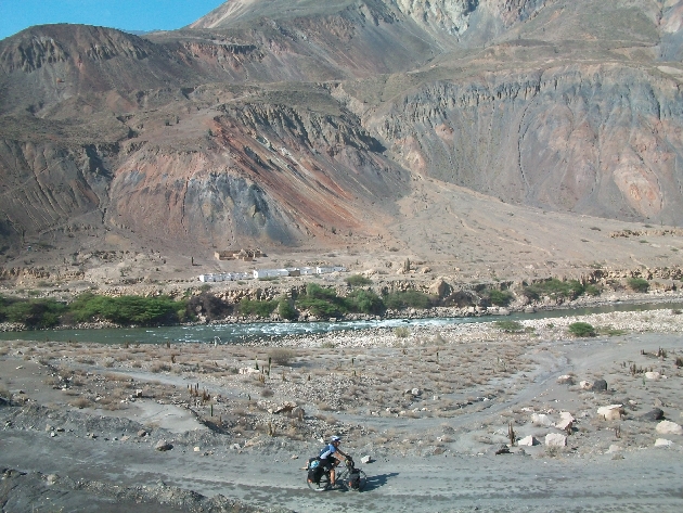
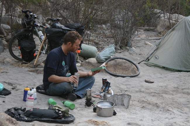
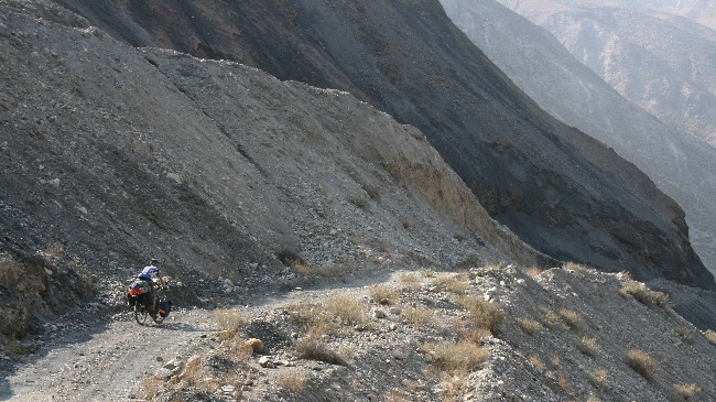
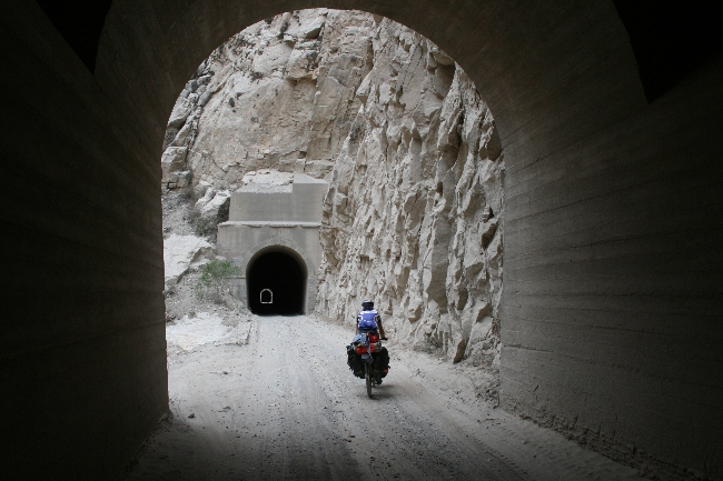
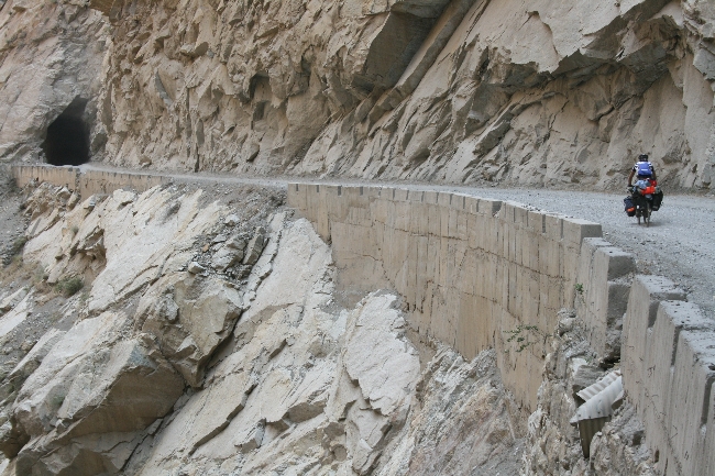
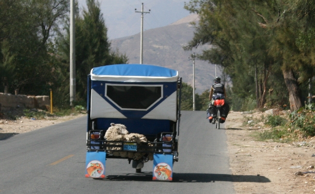
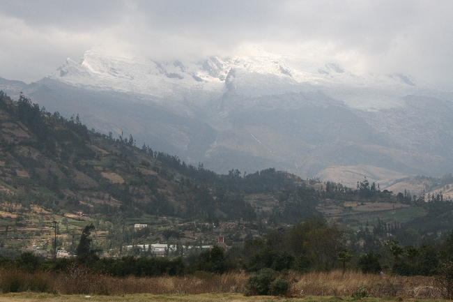
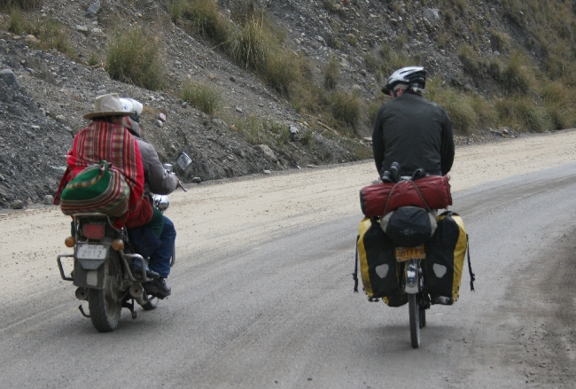
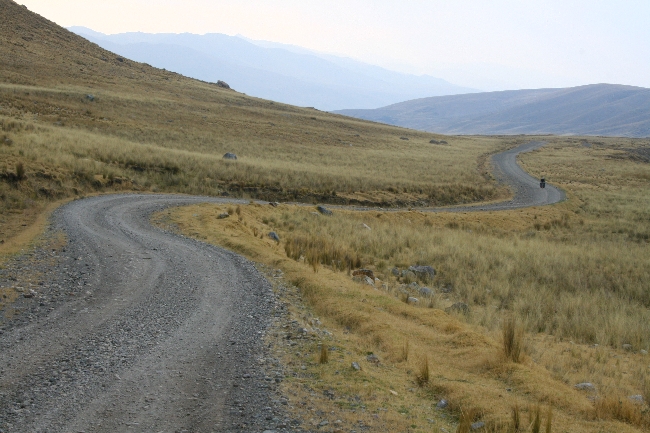
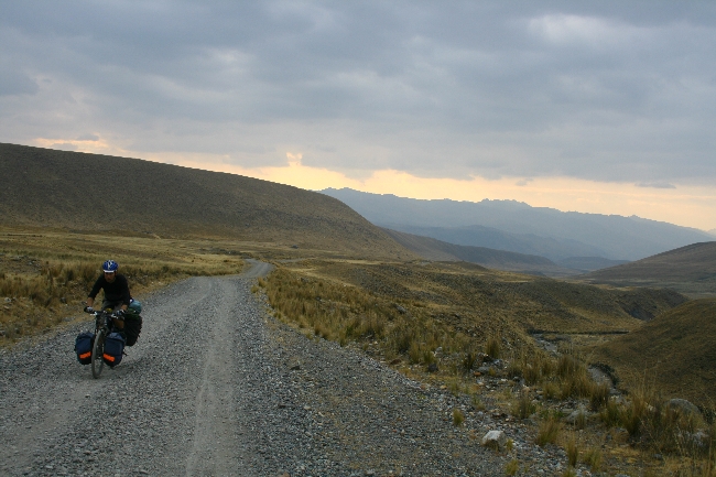
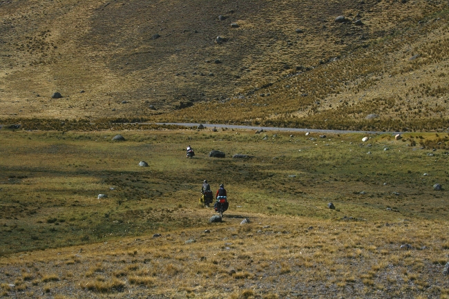
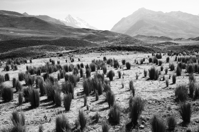
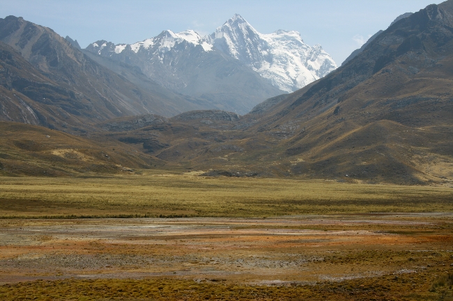
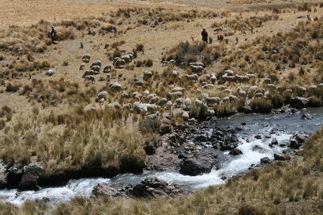
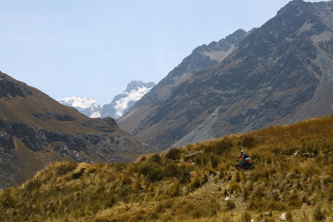
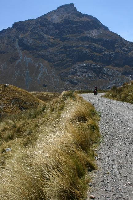
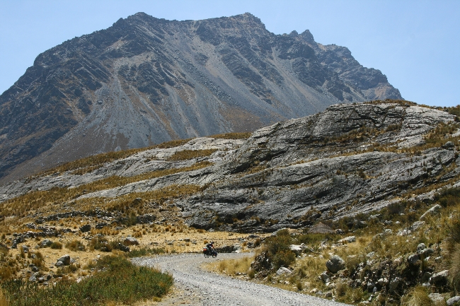
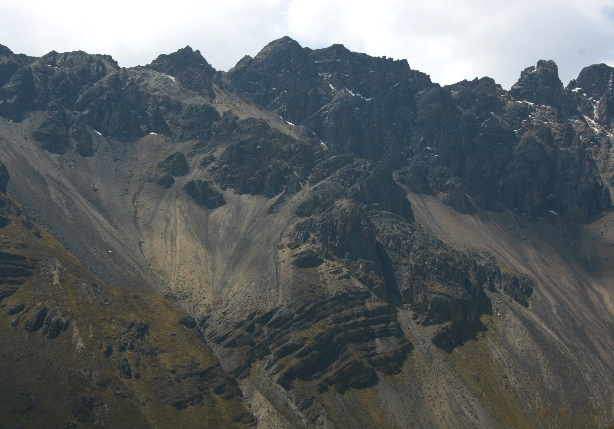
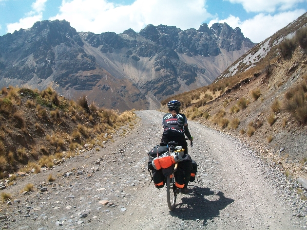
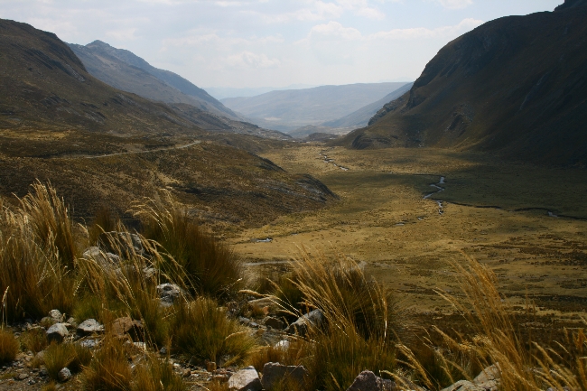
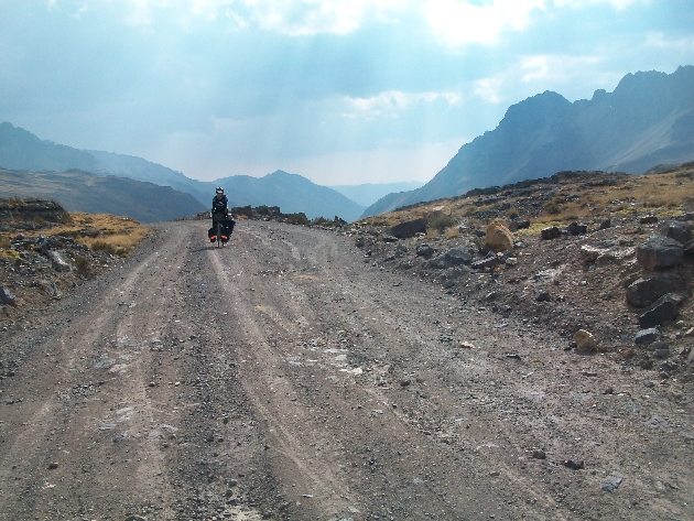
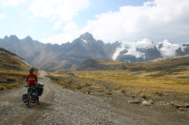
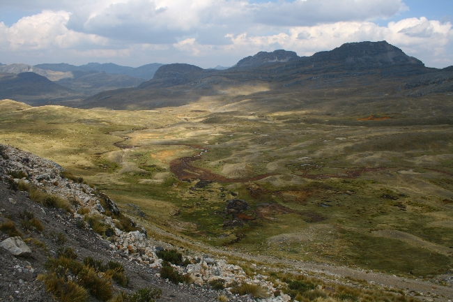
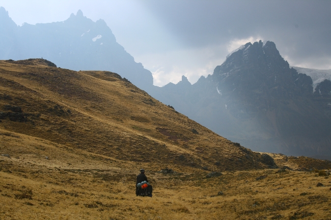
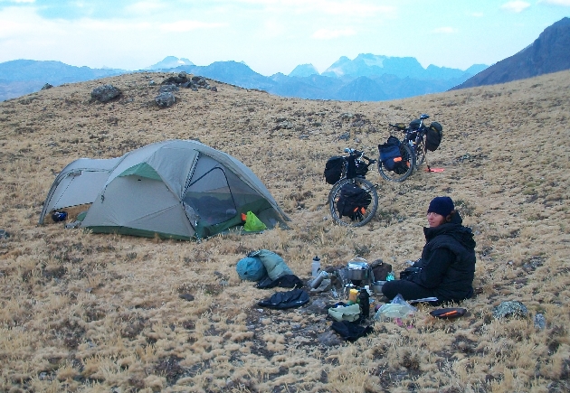
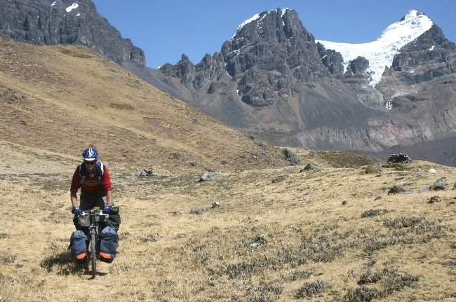
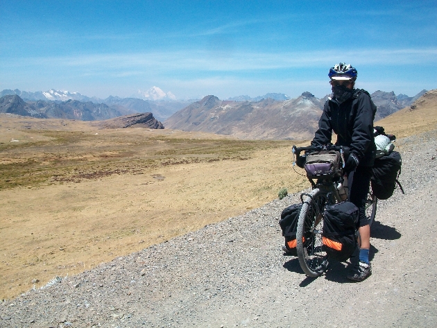
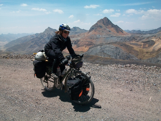
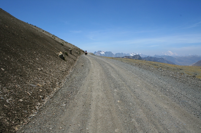
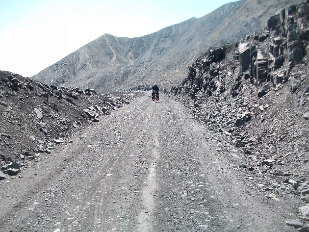
Bolivia’s Salar de Uyuni is a touring cyclist’s mecca. The Salar was once a giant prehistoric lake that dried to form the world’s largest salt desert. Riding across this immense, completely level crystalline world is an unreal, almost mystical experience. Getting there through some of Bolivia’s most remote country is a big part of the adventure. The fierce winds, washboard, sand roads, freezing nights and near total lack of supplies along the way made this one of the most challenging stages of our entire Alaska-Argentina route so far.
I’d read a few cyclists’ blogs in preparation of our approach on the Salar. There seemed to be a consensus that our planned route from Challapata to Tahua would be tough. Some bloggers seemed personally offended by the road, and cursed Bolivia, Bolivian road engineers and the salty water and llama meat they had to consume to survive in this inhospitable region. With this in mind, we loaded up on food and water and braced ourselves for a hellish ride.
The road to the Salar de Uyuni did not disappoint.
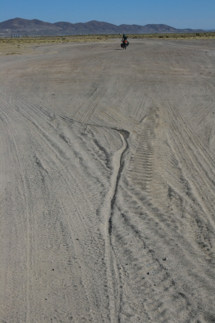
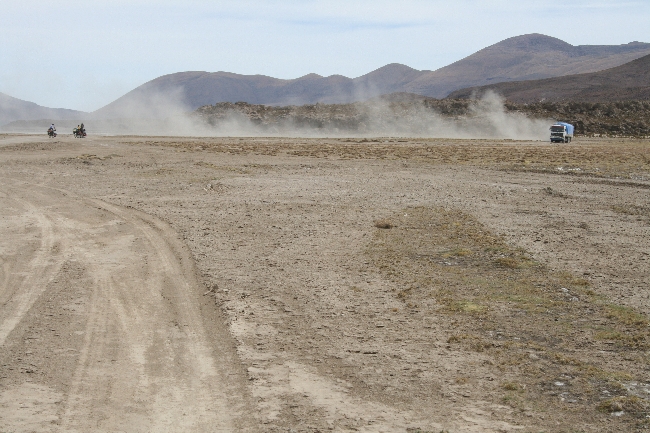
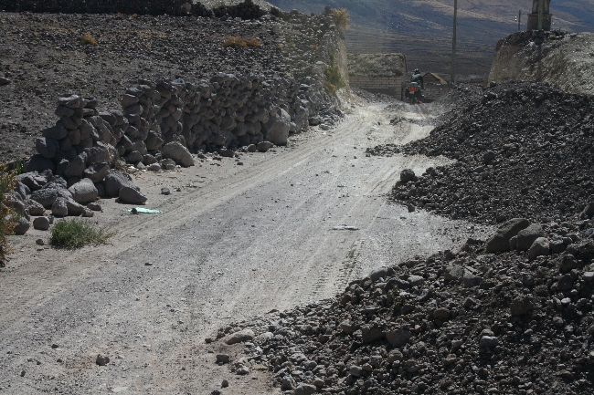
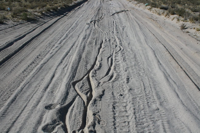
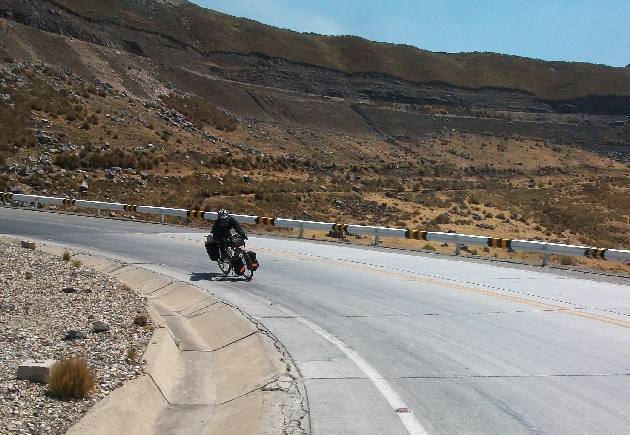
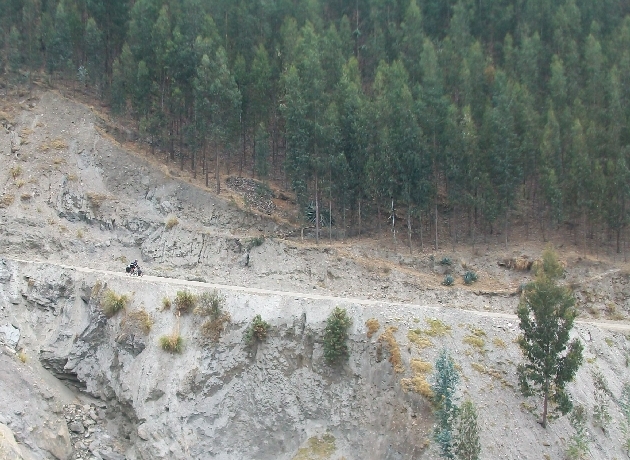
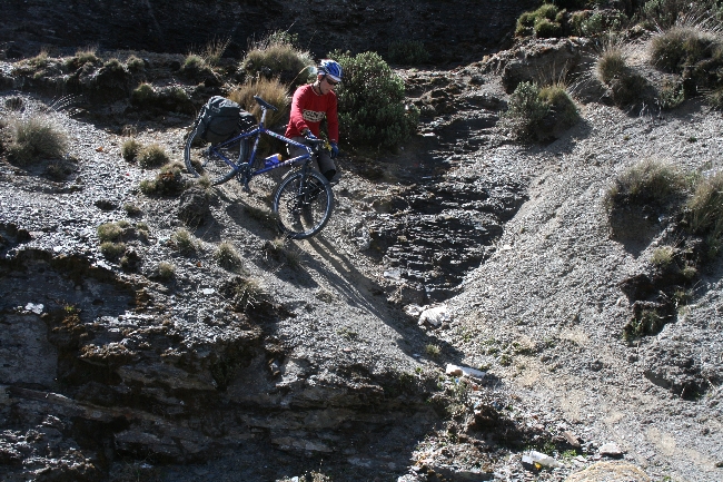
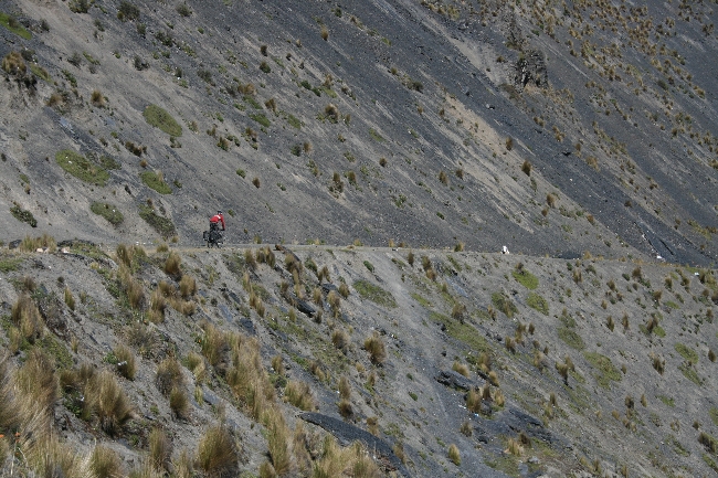
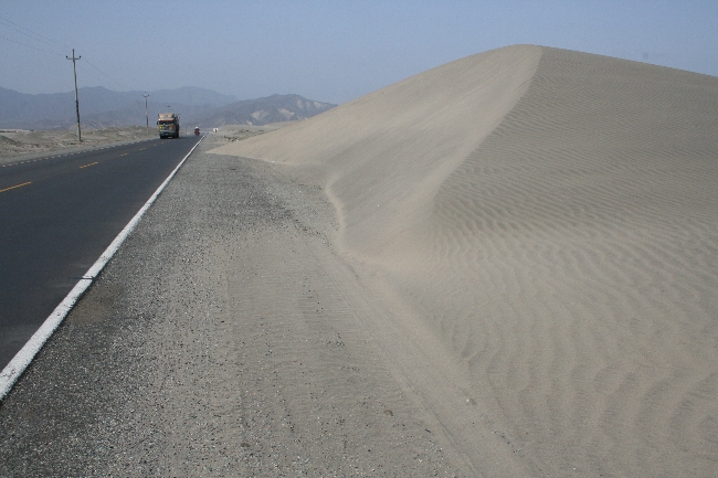
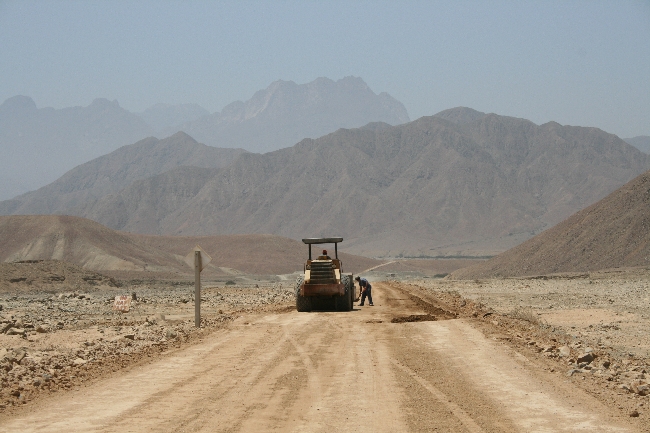
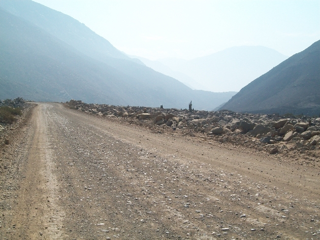
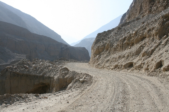
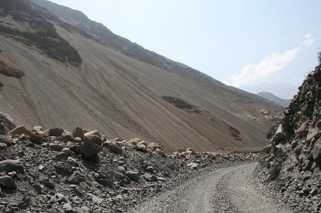
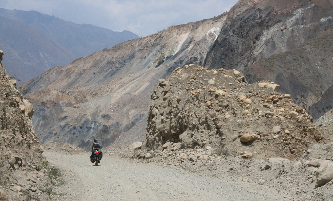
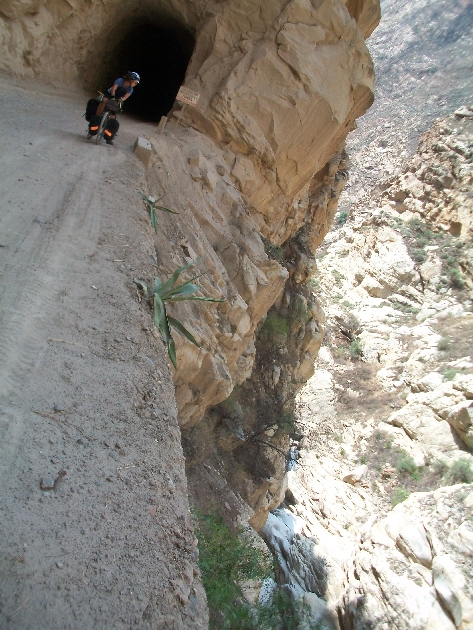
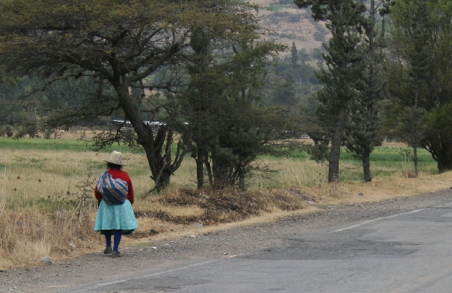
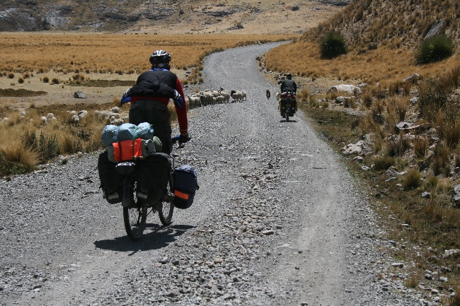
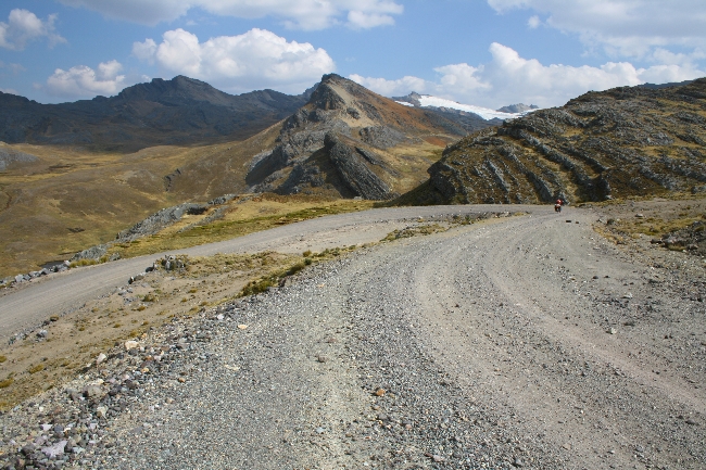
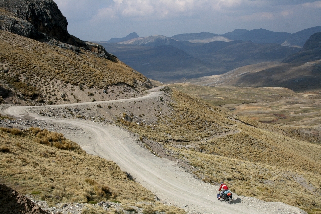
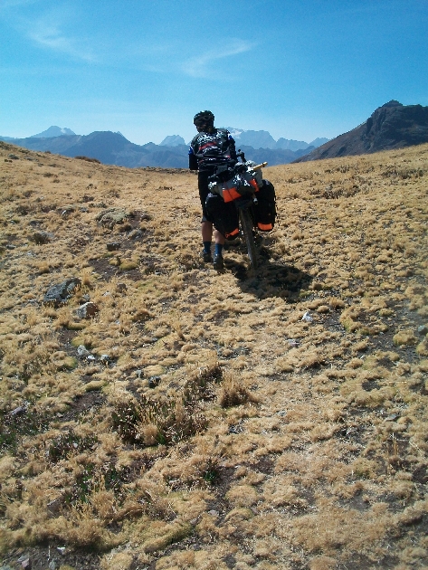
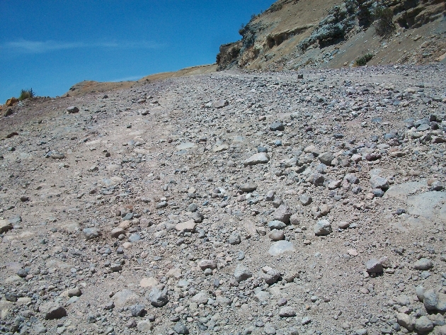
From Challapata to Quillacas, we met with unexpectedly paved roads and a surprisingly easy-to-follow route. As we headed southwest from Quillacas, however, the road began to deteriorate. Happily, alternative routes popped up along either side of the road, where jeeps had forged their own trails in favour of a smoother ride. As I cruised effortlessly along on the pancake-flat, hardened mud, swerving around bushes and shrubs, I thought, “What was everyone whining about? Buncha whiney wimps…” and so on.
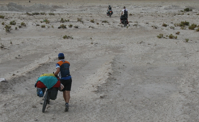
My smugness and the mud flats ended at around the same time. Right when the washboard began in earnest and the alternative tracks became sand dunes.
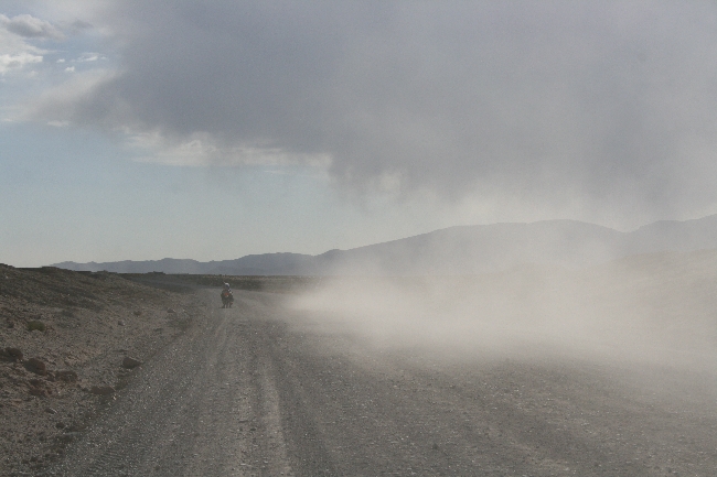
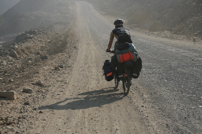
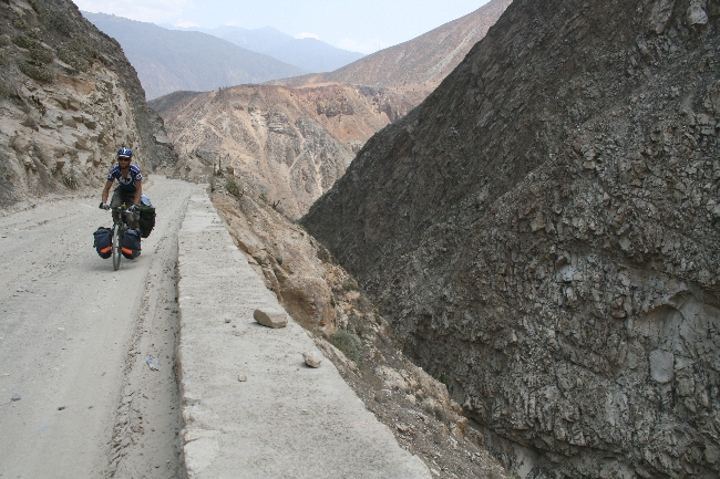
A long stretch of washboard is about the worst thing you can throw at a hundred-pound bike with no suspension and high-pressure touring tires. Either you bob along at 5 km/h and get seasick, or you push it and shake all your bolts (and fillings) loose with terrific violence.
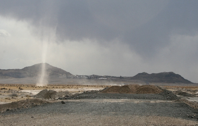
I say about the worst thing, because once you combine washboard with deep sand, those hard tires and heavy load mean some serious sweating and cursing to keep the bike upright. Add 70 km/h headwinds (which pick up around 2 PM every day between Quillacas and Tahua), and any forward motion involves tooth-grinding, tendon-tearing effort. Just before reaching Alianza, Lucie got to watch me throw a little fit as I lost my front wheel in the sand and bailed. I punched some rocks, kicked up some dunes and spat at the wind. Lucie gave me a hug for my performance. We carried on, eyes narrowed behind our sunglasses, our skin stinging from the flying sand, our tires churning and shifting as we crawled across the seemingly endless expanse of forlorn high desert.
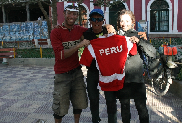
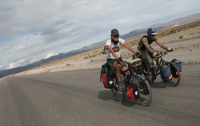
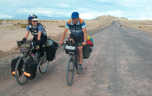
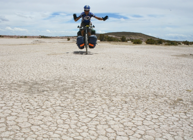
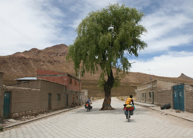
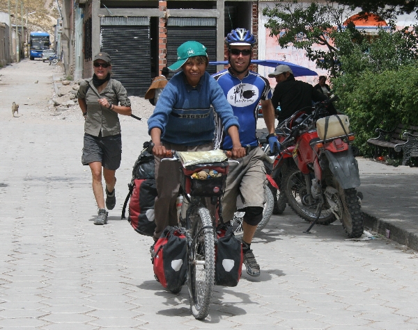
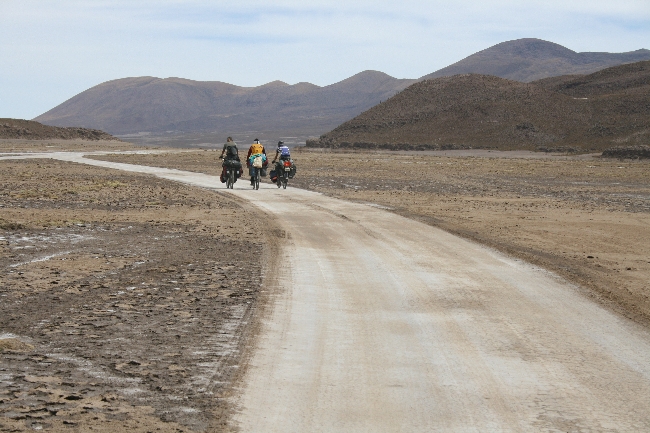
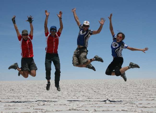
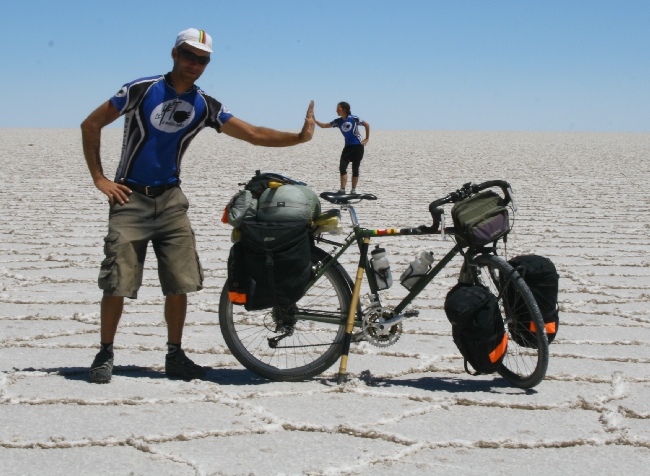
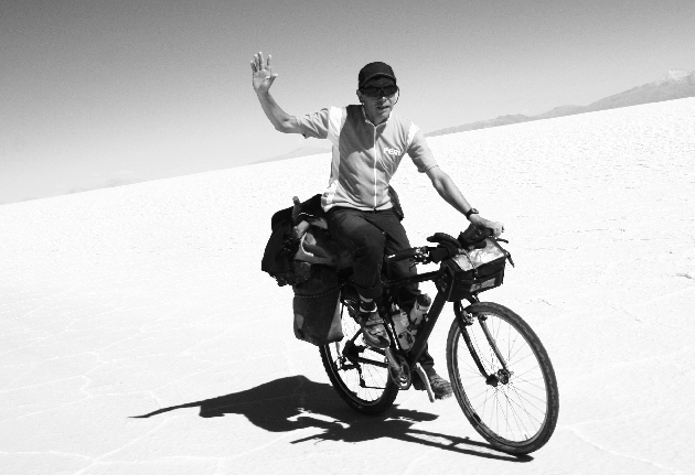
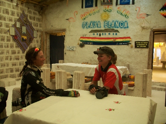
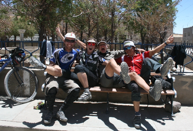
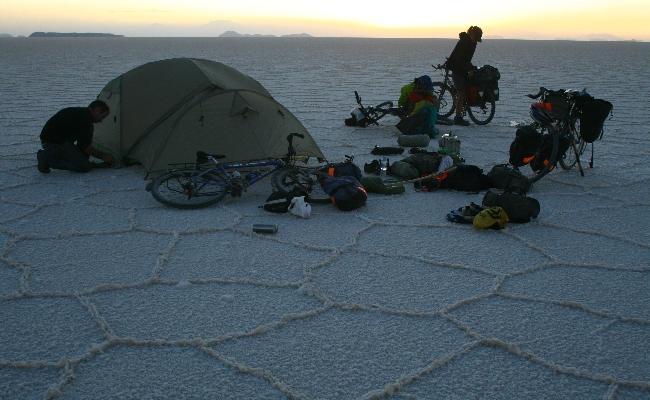
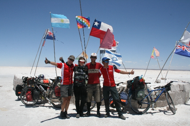
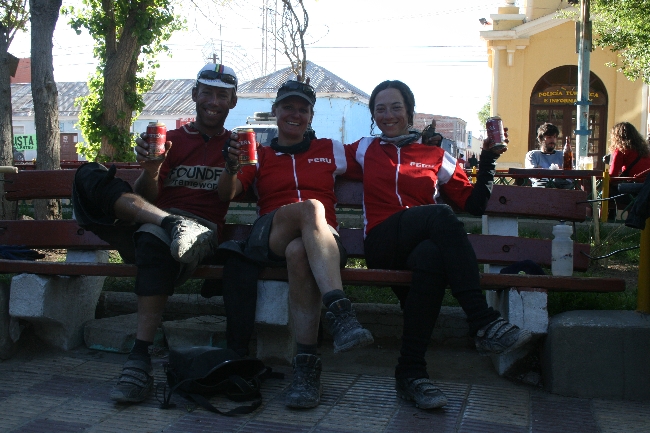
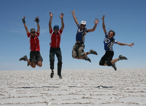
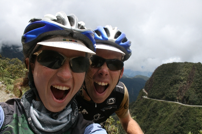
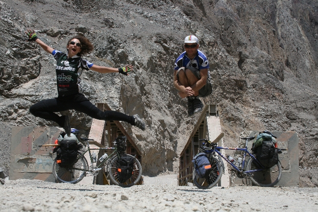
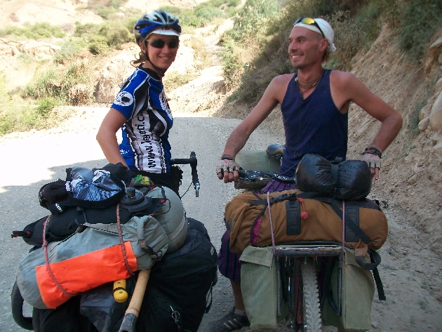
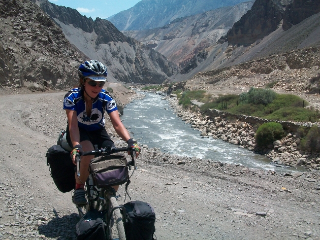
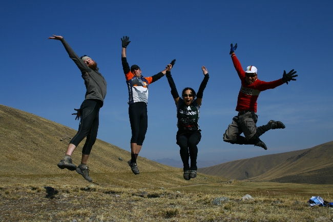
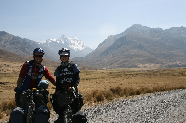
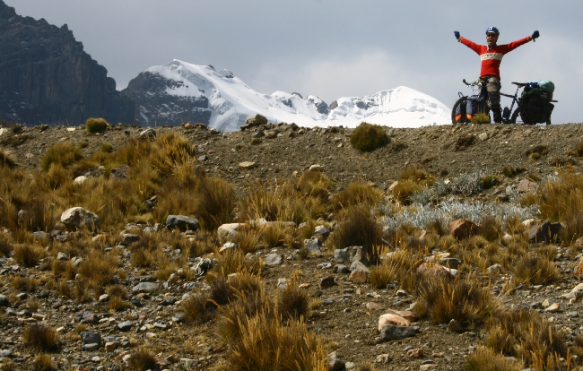
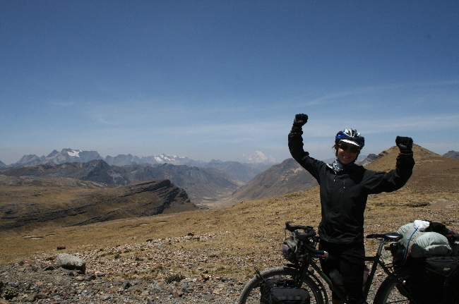
Of course, it was more than worth it. Once we had a view of the salt, we were as giddy as a couple of kids. After all that anticipation, we gleefully coasted into the heart of one of the world’s natural wonders. The ride was only made sweeter by the fact that we were accompanied by the legendary Lucho, owner of Trujillo Peru’s Casa Ciclista, and Nina, a dynamic German traveller with a great sense of humour whom we’ve met along the road more than once in the past months.
Here’s a little video of our first few pedal strokes early in the morning after camping on the salt.
Check back soon for our photo gallery!
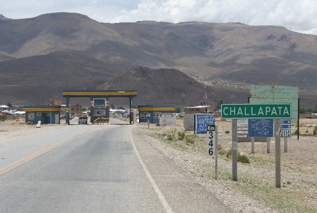
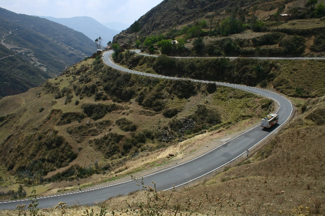
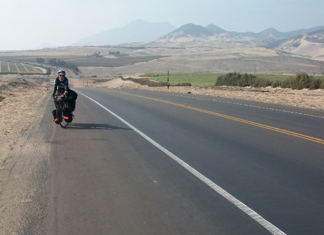
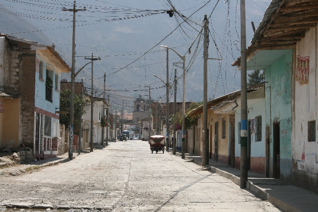
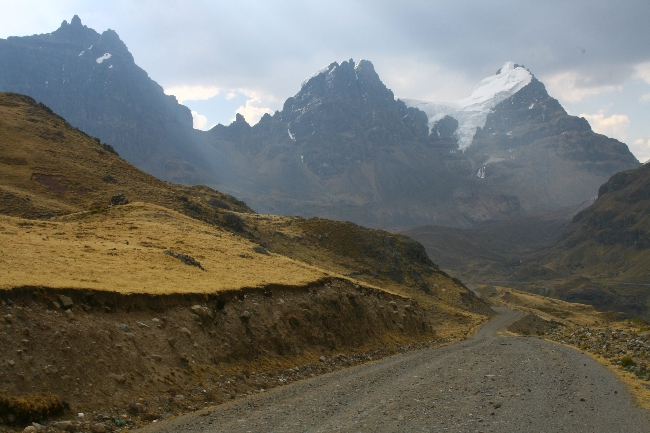
How to Cycle Across the Salar de Uyuni: Challapata to Uyuni
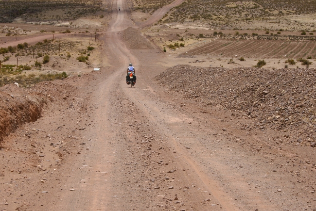
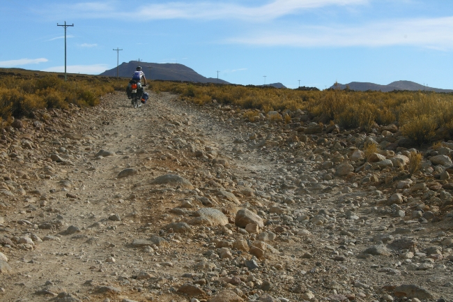
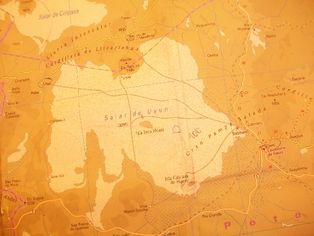
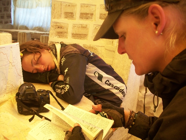
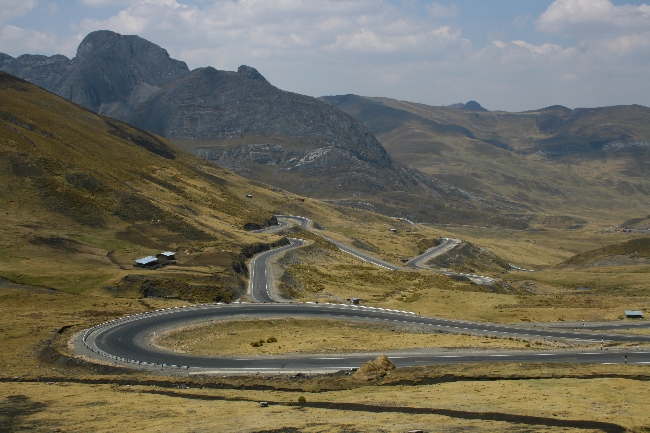
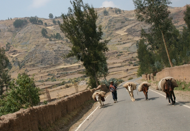
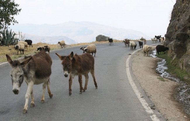
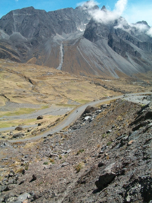
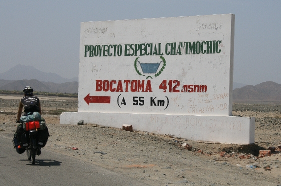
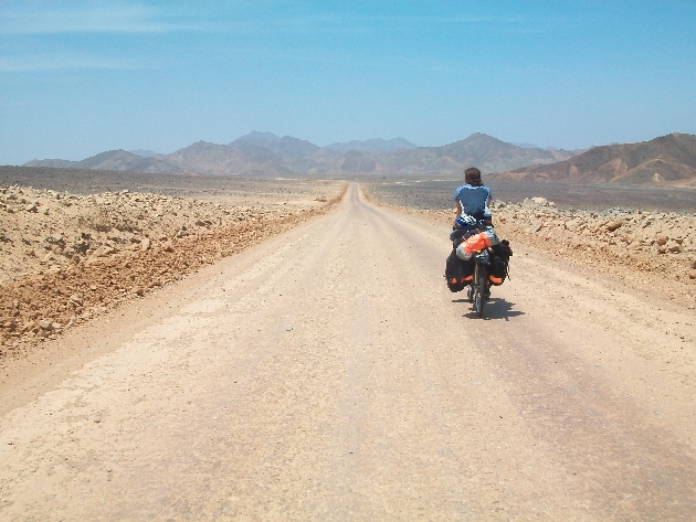
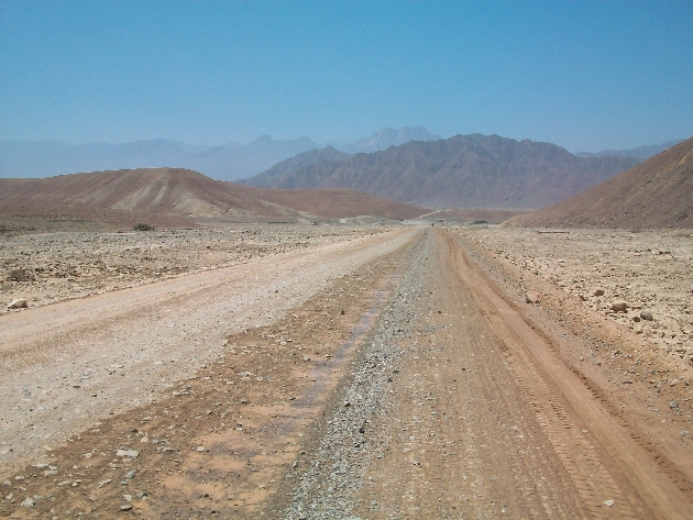
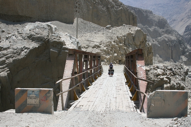
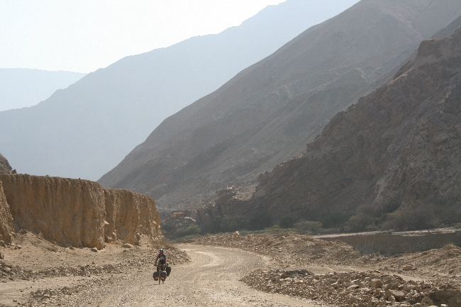
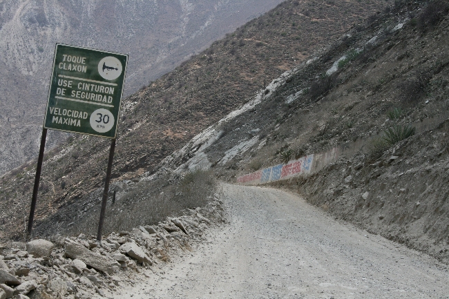
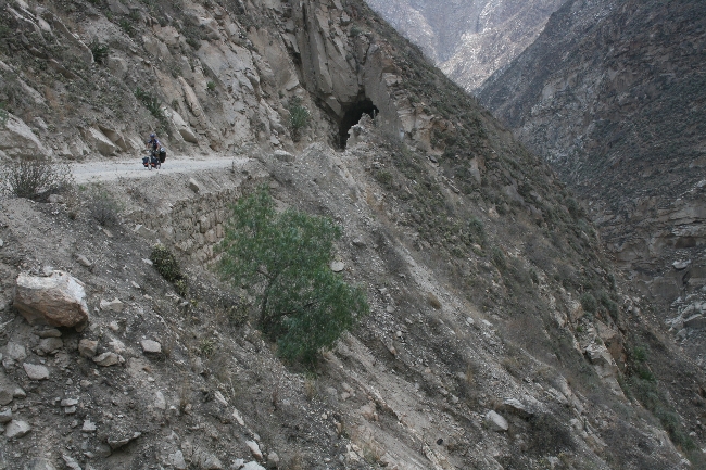
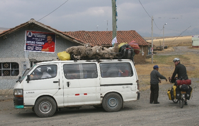
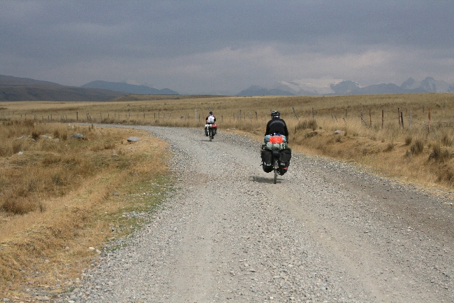
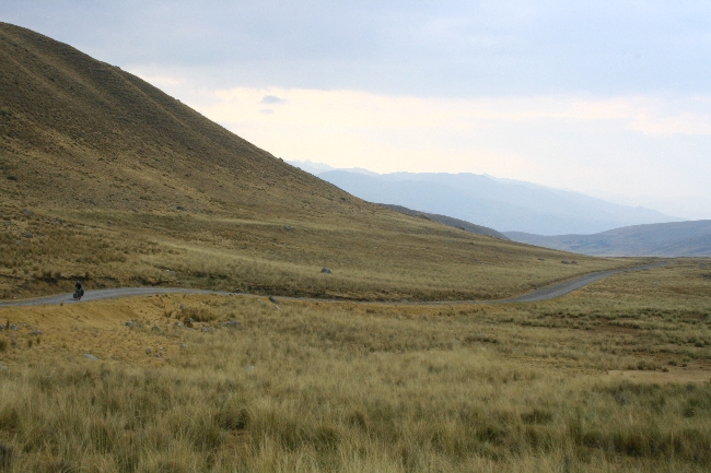
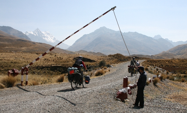
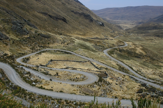
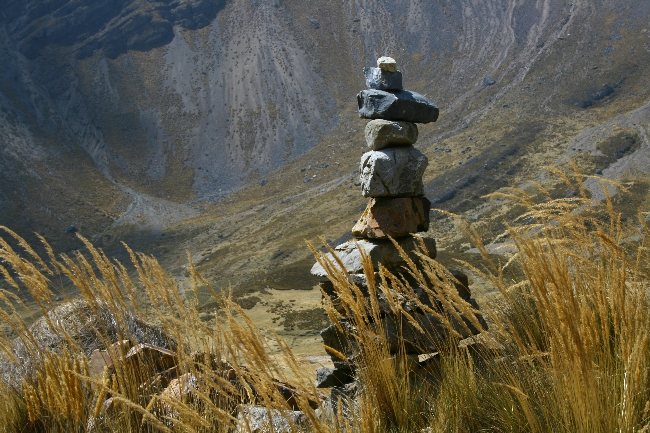
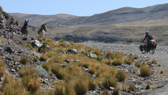
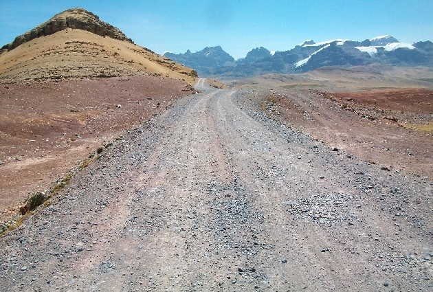
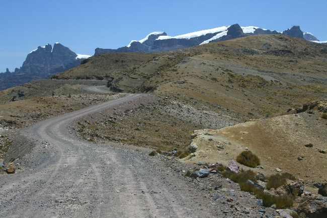
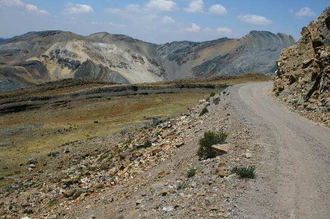
For those planning to ride the Salar, here’s some info on the route we took, which accesses the Salar from the north. Keep in mind there are probably several routes (they change with every rainfall) that will lead you from Salinas to Tahua; just keep asking the trucks and jeeps you run into along the way.
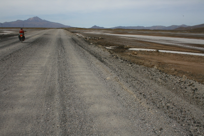
KM 0: Challapata. Freshly-paved through Huari and beyond. Huari has groceries.
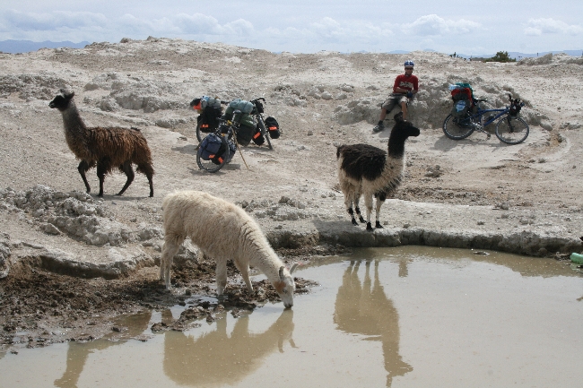
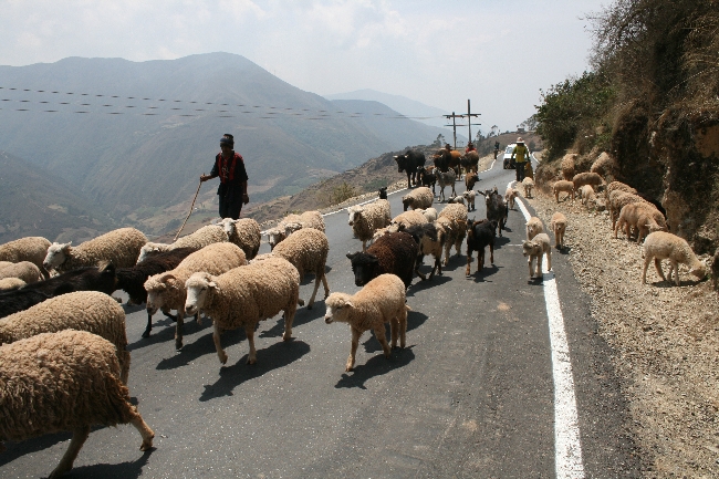
KM 50: Quillacas. Rougher roads begin. A store with yogurt, bread, water, pop, etc. By now your compass will have stopped working, one of the Salar’s quirky effects.
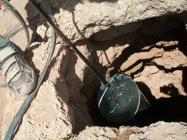
KM 92: Villa Esperanza. A tiny shop off the main square sells only crackers and soda pop. You can borrow the shopkeeper’s bucket and draw some murky, somewhat saline water from his well. Drinkable if you have a water pump. Paved section (only 3 km long as of December 2010) starts behind shop!
KM 100: Tambo Tambillo. Not much to it.
KM 109: Village with actual people in it. Maybe some juice or pop.
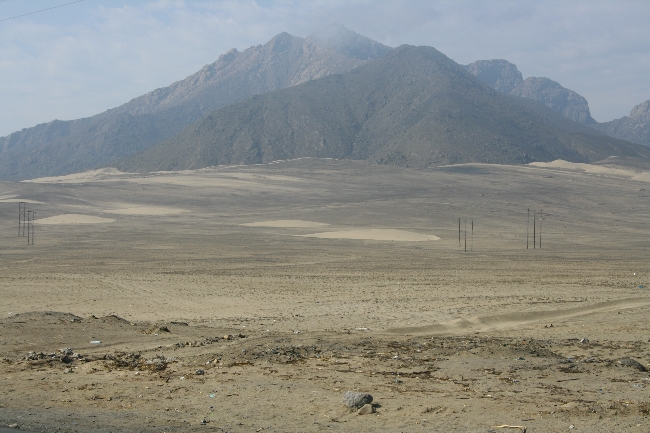
KM 110: Giant meteor crater on the right side of the road.
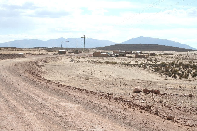
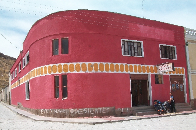
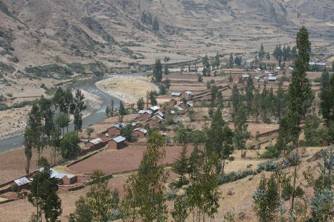
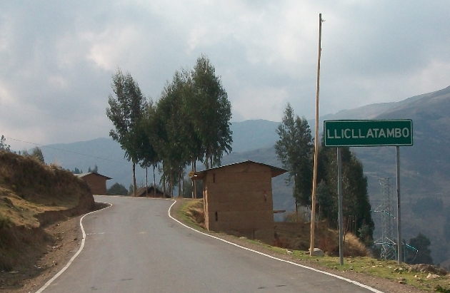
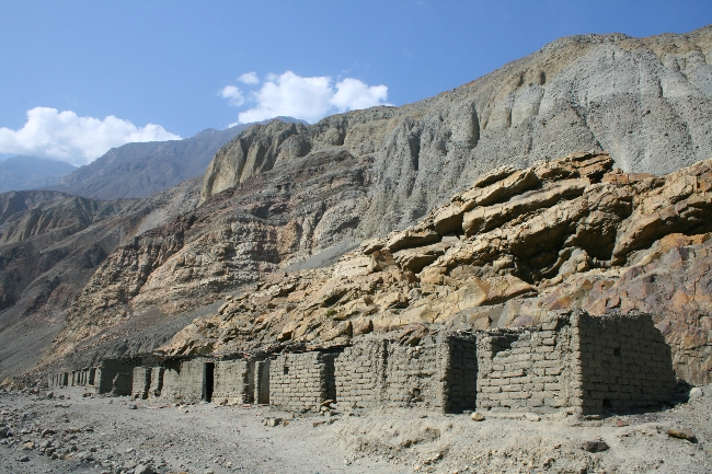
KM 147: Salinas de Mendoza. A real town that will seem like a mirage after the desolate country you’ve just ridden through. A gas station, a nice town square, lots of little shops, 2 restaurants and a hostel “downtown” (30 Bs/night is the gringo price). Make sure you fill up on extra everything before moving on. Hostal Salinas serves up a good almuerzo for 10 Bs a plate. Ask locals for the “road” to Tahua, which involves surfing over some salt-crusted mud flats. Turns into sand after a few kms.
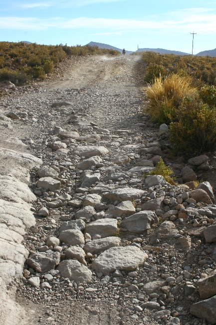
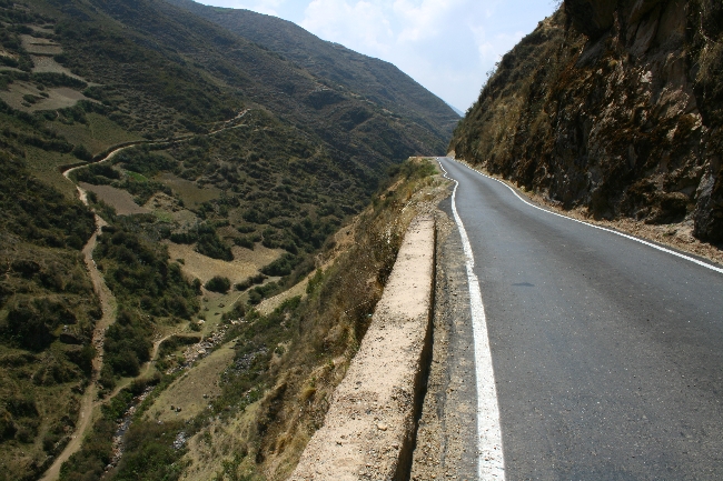
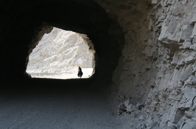
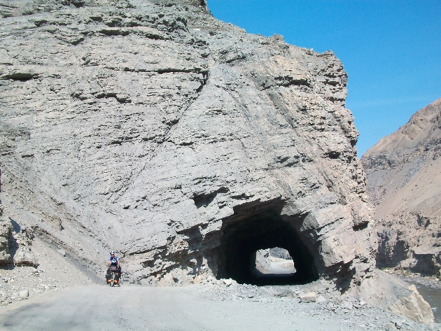
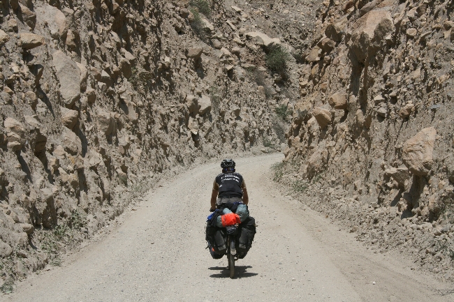
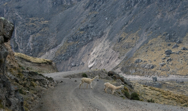
KM 165: Teeny village. Right after the village, take the left fork, which is the smaller, less travelled road. Follow the power lines along the virtually unrideable vertical boulder track that looks like a streambed.
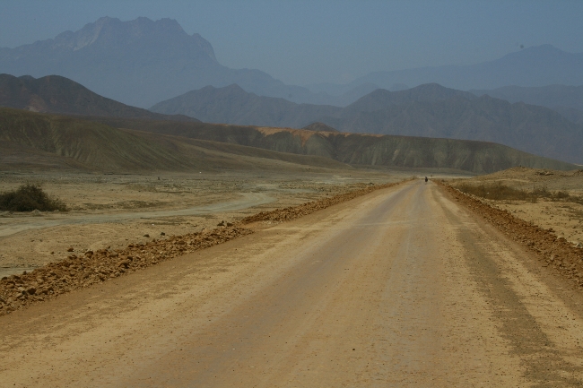
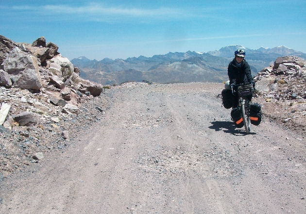
KM 175: Alianza. Water, store. Almost there!
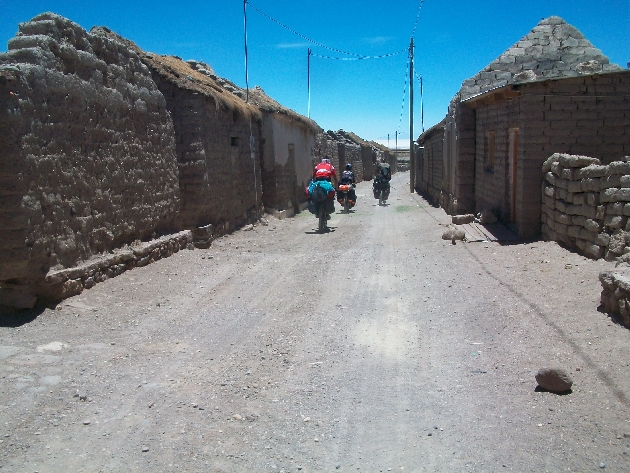
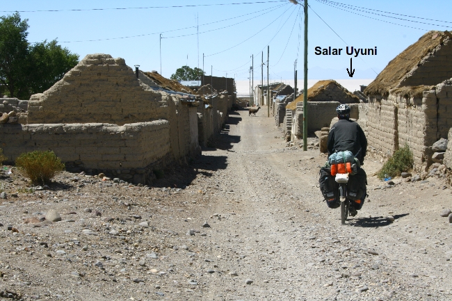
KM 185: Tahua, the town on the “shore” of the Salar de Uyuni. Suprisingly well-stocked store (called Aguas Cristalinas) for last-minute supplies. No restaurants. Put on a few extra layers of sunblock or the Salar will burn you to a crisp.
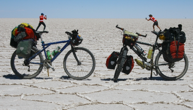
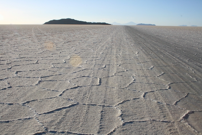
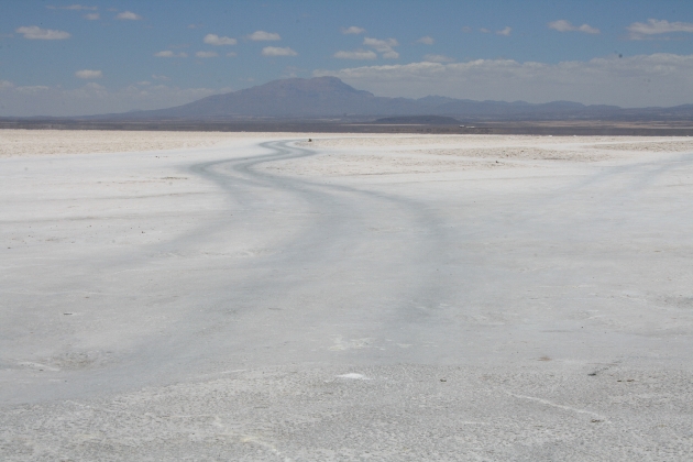
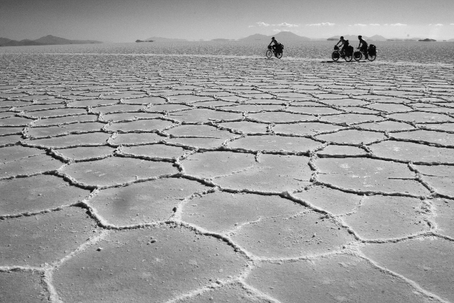
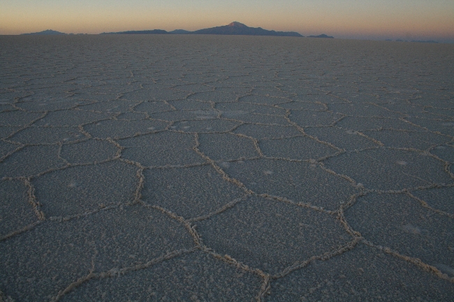
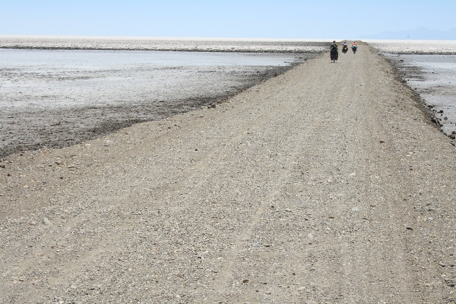
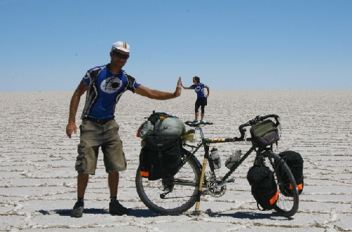
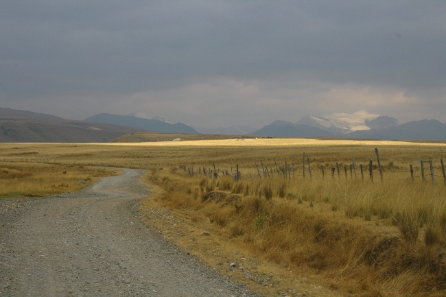
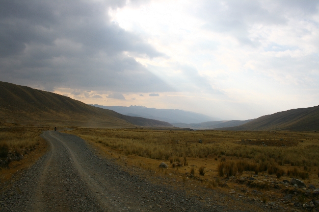
KM 187: Salt!!! The main jeep track will lead you straight to Isla Incahuasi (roughly 40 km), which only becomes visible from about 25 km away due to the disappearing horizon optical effect created by the salt. Head due south! Traffic from this side of the Salar is light, and as a result the salt is a little bumpy till you get near the Island.
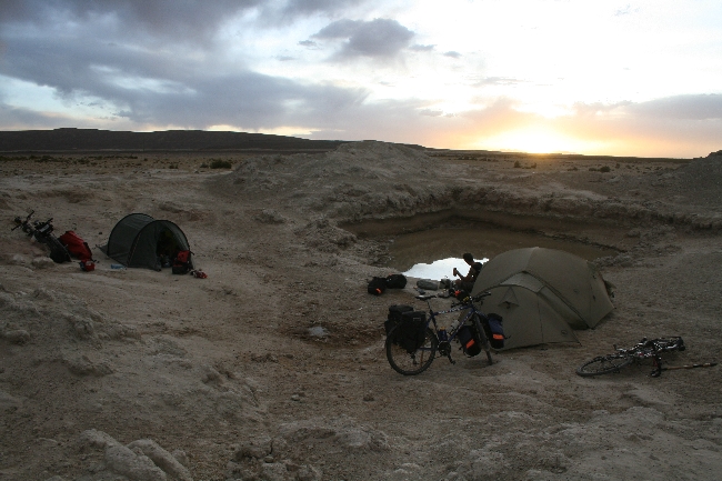
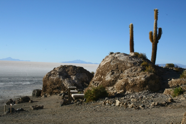
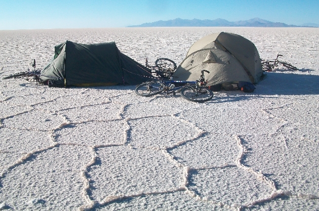
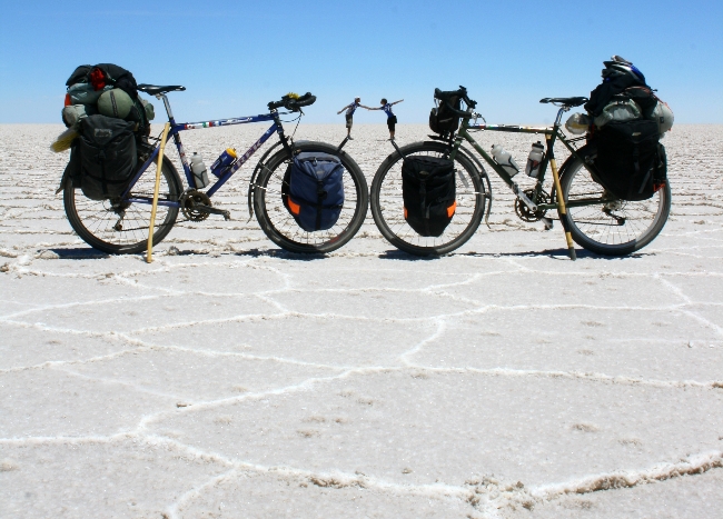
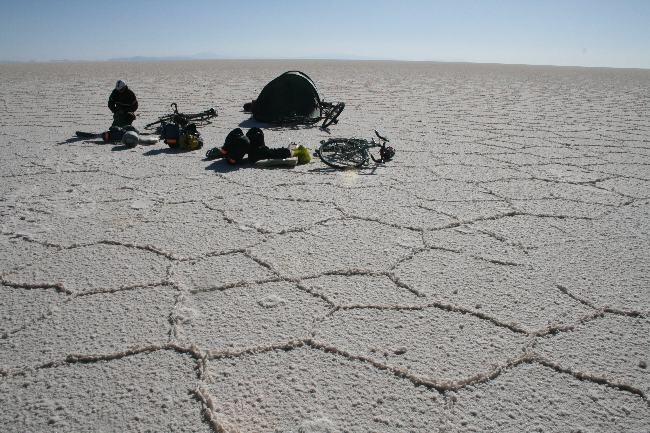
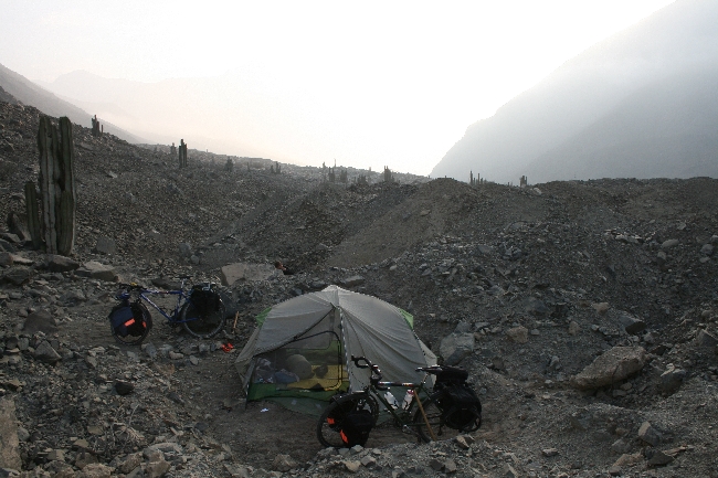
KM 225: Isla Incahuasi. Despite what other cyclists and your travel guides tell you, there is no longer a special “free camping” deal for cyclists on the Island. Don Alfredo, Incahuasi’s original resident, has been trumped by the Bolivian Tourism Authority, who now have an office here. Camping will run you 15 Bs per person, which includes washroom access. The Island features a fancy hotel, a fancy restaurant and a basic restaurant and a small store. You can camp on the salt (out of sight of the Bolivian Tourism officials who reside on the Island, who will try to collect their 15 Bs), but beware of strong winds and get clear of any jeep tracks. You’ll need a rock or a hammer to get those tent pegs in; better to anchor the tent with your bike(s). Cook supper well before sundown, when the winds start, and bundle up for a cold night. The path from here to Colchani is very smooth, like riding on a giant slab of marble.
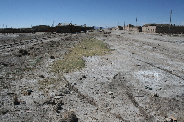
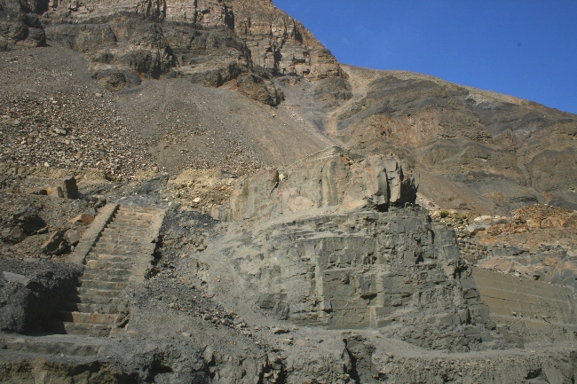
KM 301: Colchani, a rundown salt mining settlement on the Salar’s eastern shore. Egg burgers can be had on the “main drag” and there are a few small shops for snacks and water.
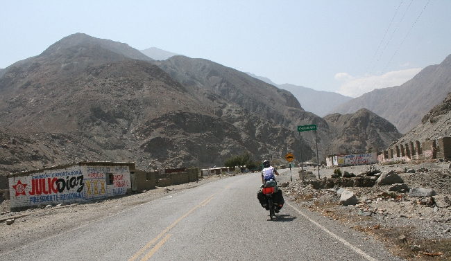
KM 322: Uyuni. You’ve made it! The incongruously upscale main square features expensive pizza and beer, some internet cafés, banks and money changers; the market and bus terminal areas offer better deals on food and lodging. From Uyuni, you can continue south toward Tupiza (apparently a miserable road) and the Argentine border or head Northeast toward Potosi (very pretty, mostly paved).
→ 2 CommentsTags: Bolivie · Countries
Du Salar de Uyuni à Potosi:
la Bolivie vole mon cœur… et ma caméra
December 20th, 2010 · 5 Comments
Le vol
Je me suis fait voler ma caméra hier, à peine cinq minutes après être entrée à Potosi. Un accessoire anodin pour certain, mais pour moi, c’est aussi important que mon vélo ou mon passeport. Sans caméra, aussi bien retourner au Québec!
Après notre mésaventure à Cuzco, puis maintenant ici, peut-être pensez-vous que nous sommes négligents. Et bien non, c’est ce qui est le plus étonnant. Nous sommes même paranoïaques en ce qui a trait à notre matériel. Nous entrons nos vélos dans les restos, nous ne les laissons jamais sans surveillance, nous les verrouillons la nuit, etc. Torrey et moi étions près de nos vélos lorsque le voleur à ouvert ma sacoche pour s’emparer de mon trésor. Nous demandions des directives à une dame qui nous pointait l’horizon, là où nous avons regardé un bref instant. Il n’en fallait pas plus. Les voleurs en Bolivie autant qu’au Pérou sont agressifs. Ce sont des professionnels qui osent sans craindre les conséquences. Ils s’exécutent devant nous, et c’est ce qui est d’autant plus frustrant. C’est dommage parce que toutes ces mésaventures laissent une empreinte émotionnelle négative. Comment peut-on respecter quelqu’un qui nous agresse? Comment pourrais-je recommander dorénavant la visite de ce pays qui a tant à offrir? Au delà de la colère et de la tristesse que cela m’apporte, je trouve ces actions misérables tout autant que ceux qui les commettent.
Nous travaillerons plus fort prochainement pour réparer les dégâts encourus. Peut-on faire autrement? C’est dans ces moments là qu’on se rappelle qu’au moins, nous avons la santé et la chance de voyager!
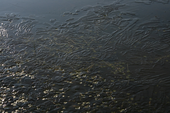
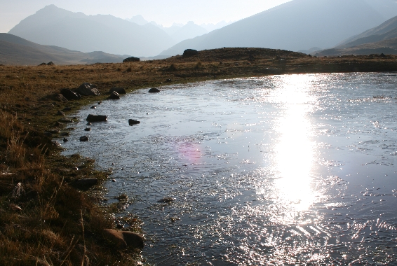
Le Salar de Uyuni

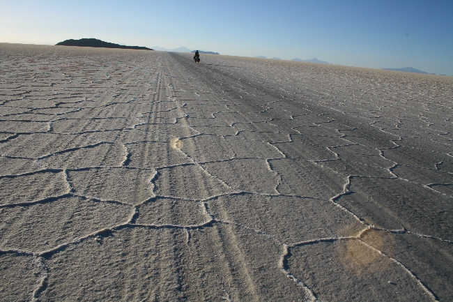
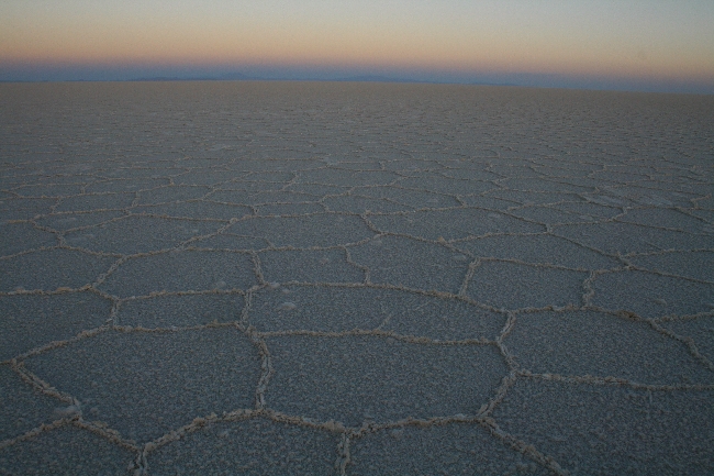
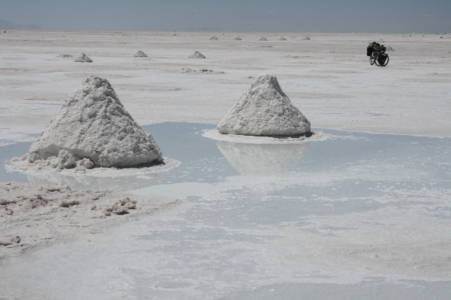
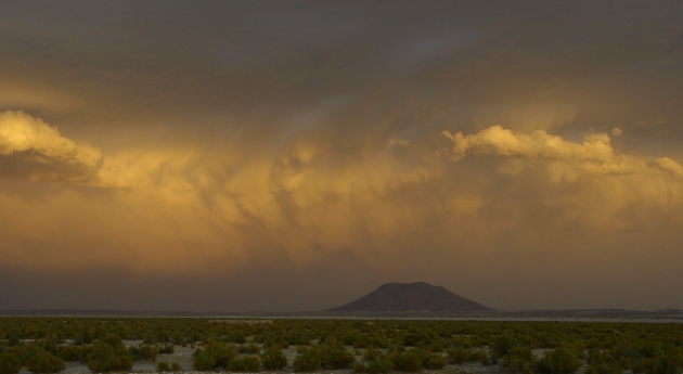
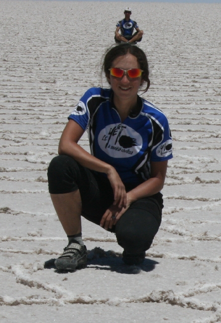
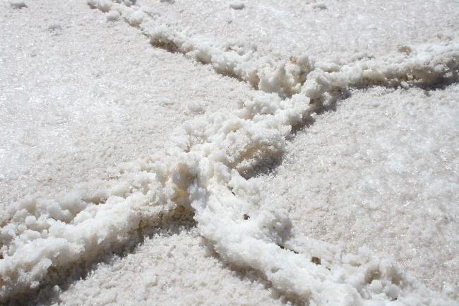
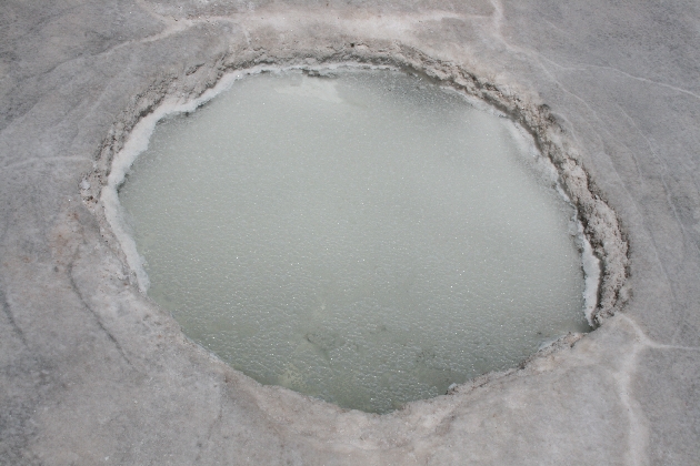
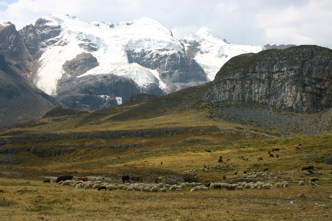
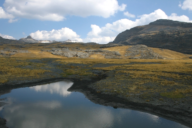
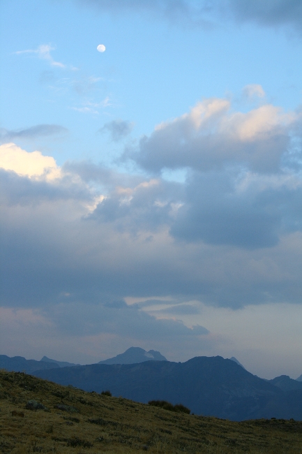
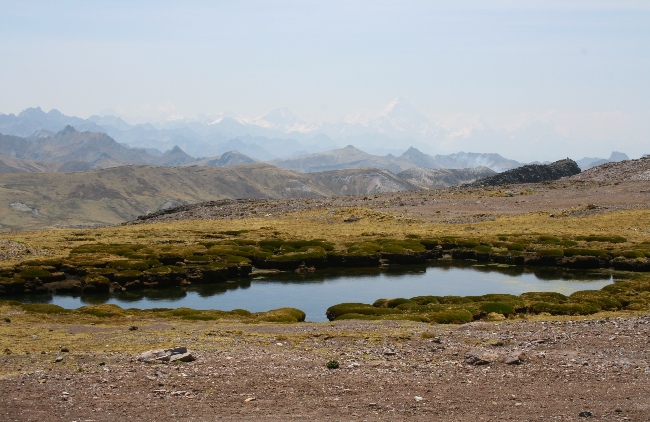
Sur une note plus positive, notre expérience au Salar de Uyuni a été mémorable. De cet ancien lac qui s’est asséché au fils des ans, il ne reste que du sel sur des centaines de kilomètres. Imaginez! Ça ne ressemble à rien d’autre sur la planète… ou peut-être une après tempête de neige dans les pleines canadiennes. Tout est blanc. L’horizon est lointain. Le soleil est aveuglant, réfléchi de partout. Il brûle la peau. L’air est sec et chaud le jour avec une légère brise qui rappelle qu’on est sur l’altiplano à plus de 3600 mètres d’altitude. Au loin, les objets sont difficiles à distinguer. Ils semblent flotter. La base disparaît, un effet optique crée par le sel. C’est un endroit mystique qui fait délirer tous nos sens.
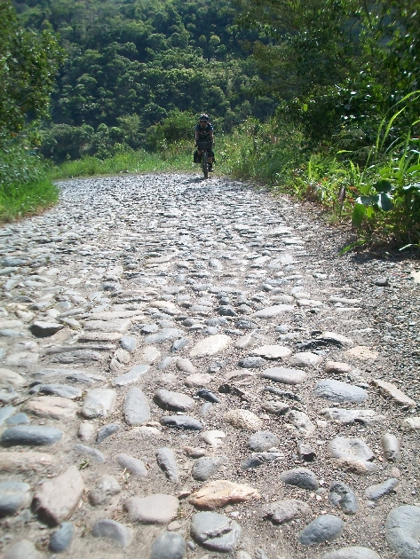
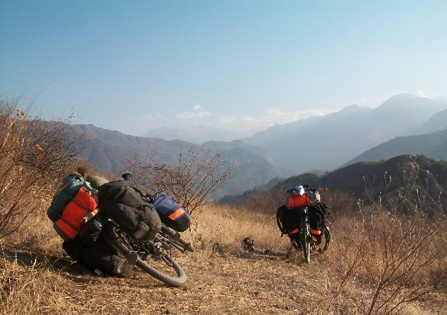
Mais pour les cyclistes, l’expérience ne se limite pas qu’au Salar lui-même, car la route pour s’y rendre est une aventure en soi, difficile je dois avouer, en plus de compter peu de points de ravitaillement d’eau et de nourriture. De Challapata à Tahua, nous avons mis trois jours à rouler dans des conditions extrêmes, à faire face à des tourbillons de poussière, à rouler sur un chemin – si on peut appeler ça ainsi! – ondulé comme des chips Ruffles avec de grosses roches et des bancs de sable qui vous oblige à mettre le pied à terre et à pousser patiemment. Étrangement, il n’est pas rare de voir les voitures éviter la route principale pour rouler directement dans le champ.
Nous avons fait le chemin avec Lucho et Nina. Lucho est propriétaire de la légendaire casa de ciclista de Trujillo, au Pérou, sans doute la plus connue à travers le monde. Lui et sa famille hébergent des cyclo-voyageurs depuis 1985. Quel honneur ce fut pour nous de l’accompagner dans son premier voyage à vélo hors de son pays. Nina est une Allemande fort sympathique que nous avons d’abord rencontrée à Trujillo, puis revue Cuzco. Depuis Puno, elle enseigne à Lucho les rudiments du cyclotourisme.
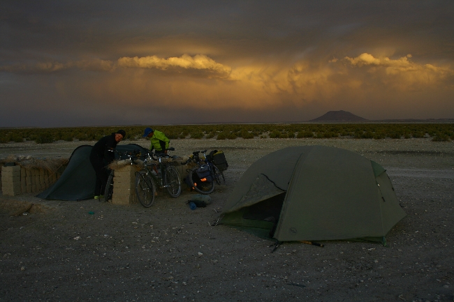
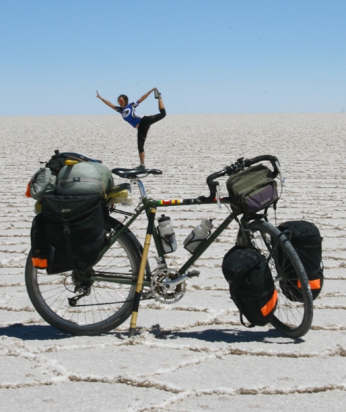
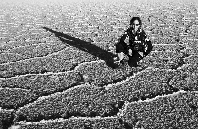
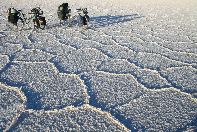
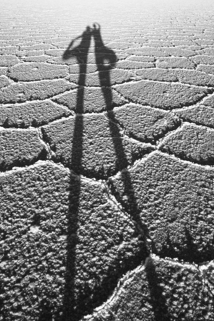
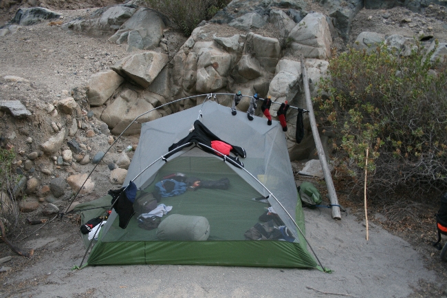
L’arrivée à la frontière du Salar est émouvant, surtout après autant d’effort. Nous nous sommes amusés comme des fous lors d’une séance photos qui permet de faire des effets cocasses en l’absence de perspective. Le soir, nous avons campé directement sur le sel à quelques kilomètres de l’île Incahuasi au centre de le l’ancien lac. Des vents violents avec rafales à plus de 100 km/heure se sont mis de la partie au moment de lancer la tente. Nous avons tenté de la stabiliser avec des piquets (pas facile de les insérer dans le sel!), mais nos vélos se sont avérés être un encrage plus efficace. La tempête prenait de l’ampleur au fur et à mesure que les derniers rayons du soleil fuyaient pour laisser place à un froid glacial. Le plus stressant est une fois couché, quand tout ce qu’il reste à faire est d’écouter les vents fouetter la tente de tous bords, tous côtés. « Et si la tente déchirait, et si elle s’envolait… » Torrey et moi tentions d’élaborer un plan B en vain en regardant les pôles plier. Cette nuit compte parmi les trois plus stressantes depuis que nous avons quitté Montréal.
Au petit matin, tout était intact, miraculeusement. Nous sommes repartis en direction de la ville d’Uyuni, la fin du Salar, des images plein la tête.
Lucho est retourné à Trujillo; Nina roule vers les lagons colorés avant d’entrer au Chili. Et nous, nous passerons Noël à Sucre avant d’entrer en Argentine. Déjà!
Revenez bientôt pour lire les impressions de Torrey!
→ 5 CommentsTags: Bolivie · Countries
Heading Into the Salar Uyuni…
December 11th, 2010 · 1 Comment
Des nouvelles dans une semaine, plus ou moins!
Check for news in about a week!
→ 1 CommentTags: Bolivie · Countries
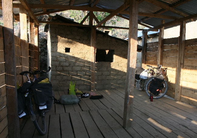
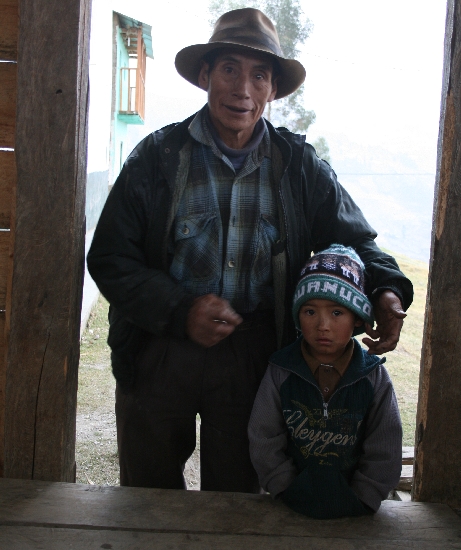
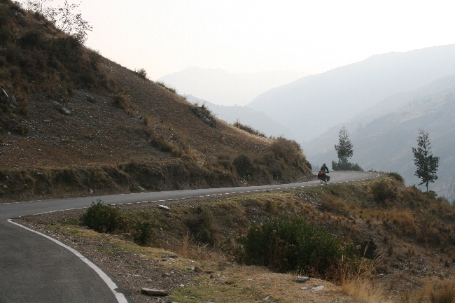
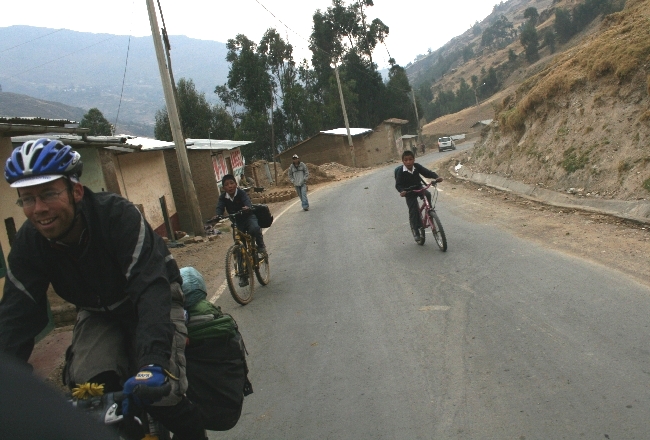
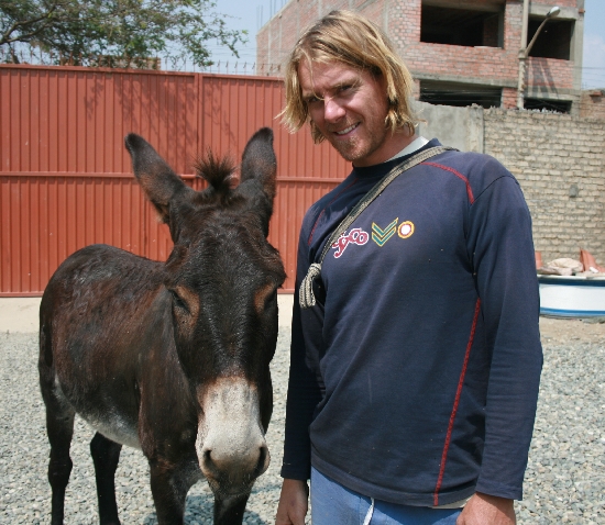
Pérou: Nord de Huanuco en photos
December 10th, 2010 · 1 Comment


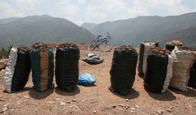
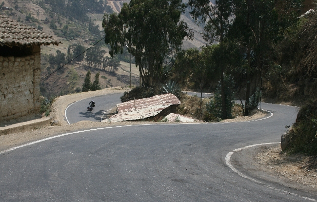
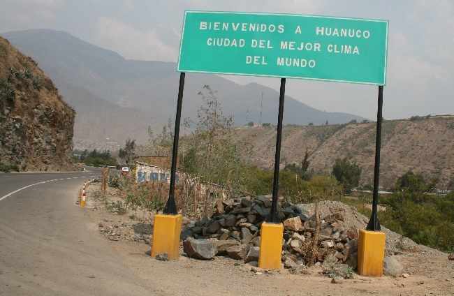
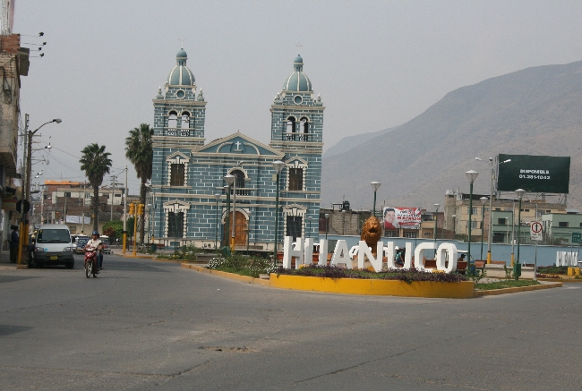


→ 1 CommentTags: Countries · Perou · Perou · Photos
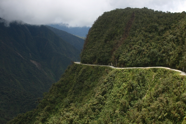
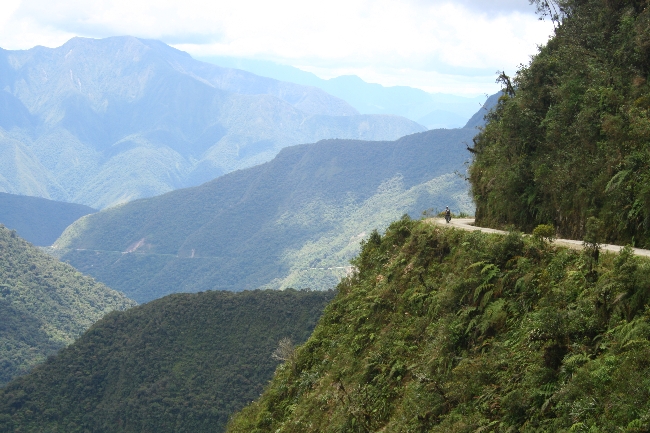
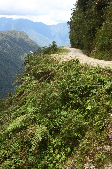
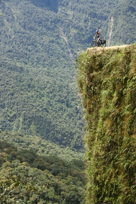
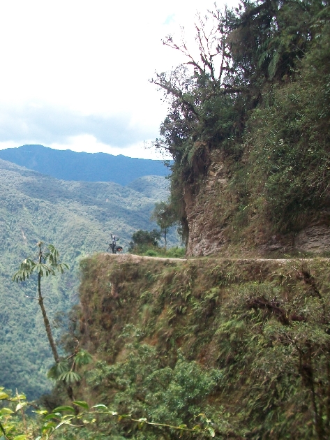
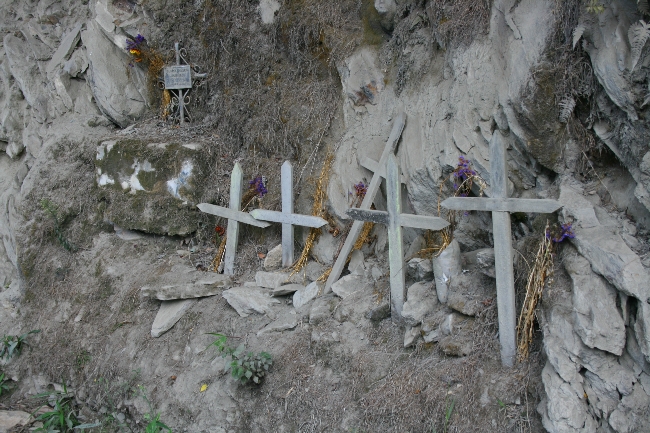
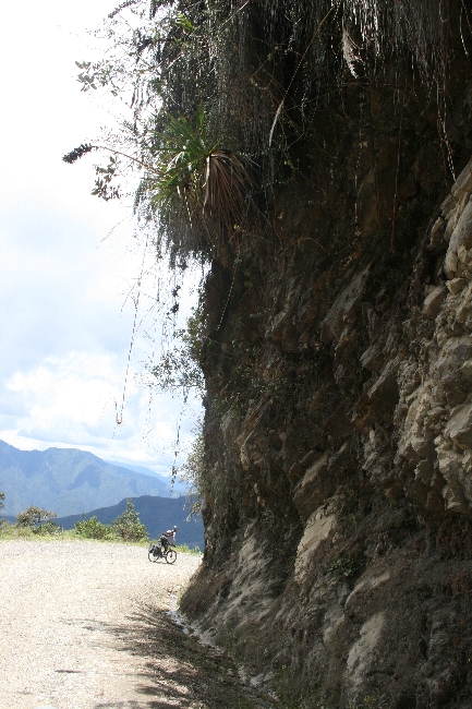
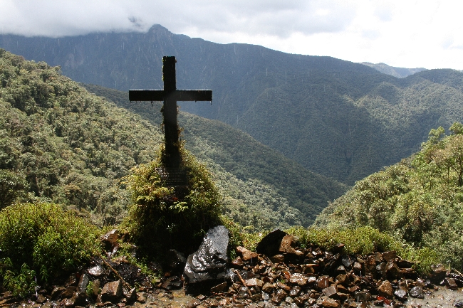
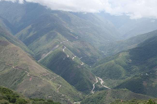
Survivre la route de la mort
December 7th, 2010 · 2 Comments
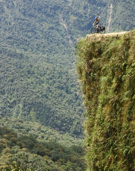
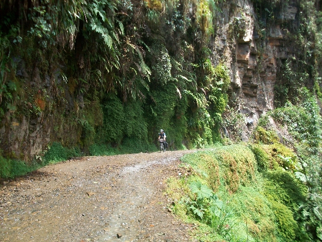
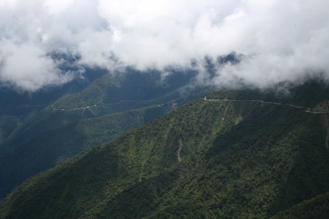
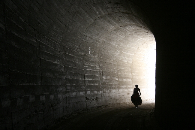
Pour n’importe quel cycliste de passage à La Paz, en Bolivie, la tentation de rouler le chemin le plus dangereux au monde est forte. Ne serait-ce que pour s’en faire une idée! Et puis, ça se glisse toujours bien dans une conversation pour impressionner la galerie: « Eh, oui, en effet… quand j’ai roulé la route de la mort, bla bla bla… ». Bref, on ne peut pas être si prêt et passer à côté. Ce serait un sacrilège que Saint-Guidon ne pardonnerait pas!
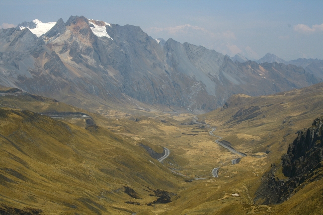
Pour faire une histoire courte, la descente de 30 kilomètres n’est si pas difficile – à moins d’avoir un vélo de route ou de cyclo! Après avoir roulé plusieurs routes péruviennes non-pavées dont le Canyon del Pato, ça impressionne un peu moins. Ceci dit, le paysage demeure spectaculaire! Personne ne peut rester indifférent en roulant à flan de montagne, de la puna à 4700 mètres à la jungle, à 1200. Et pour pimenter le tout, l’aventure se termine par une interminable montée sur un chemin pentu en dalles de 8 km à 40º C avant d’arriver au paradis de Coroïco, un charmant village où cohabitent harmonieusement les habitants, les touristes en vacances et les oiseaux tropicaux. Quelle récompense!


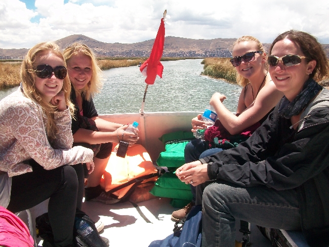
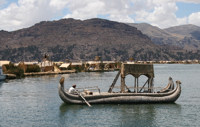
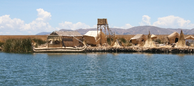
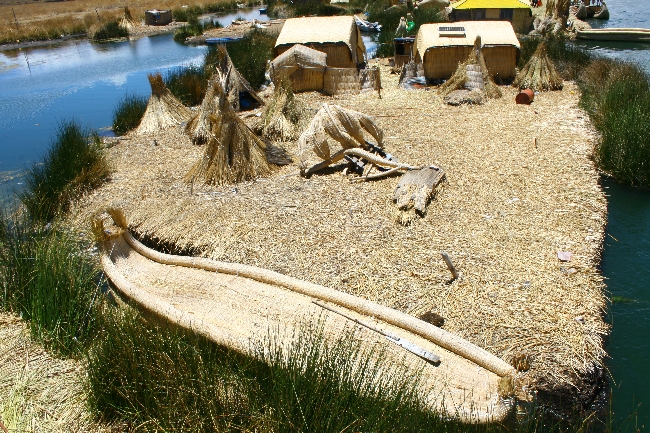
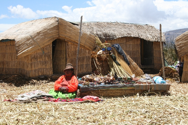
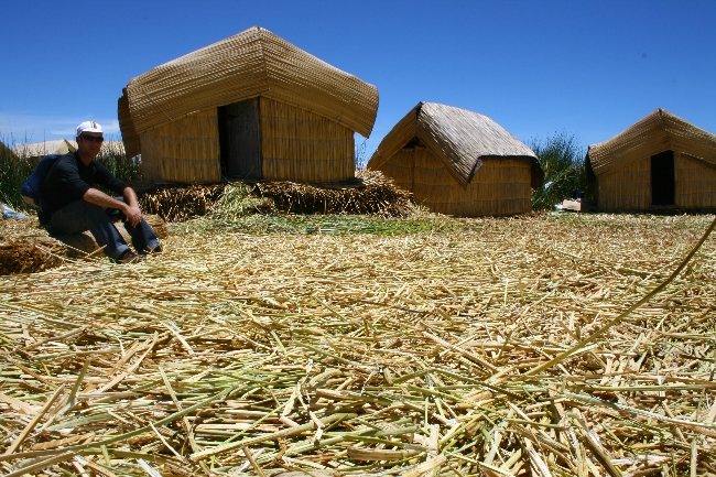
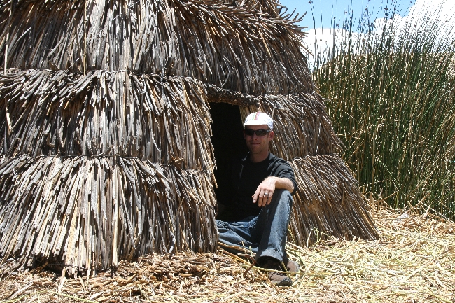
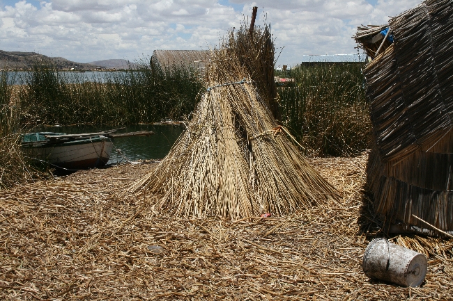
La route de la mort n’a pas été notre seule sortie touristique au cours des derniers jours. Nous sommes également allés visiter les îles flottantes du lac Titicaca avant de quitter le Pérou.


Et d’ici la semaine prochaine, nous roulerons dans le désert de sel Uyuni. Imaginez!, des centaines de kilomètres de sel!
La Bolivie est un petit pays rempli de belles surprises!
→ 2 CommentsTags: Bolivie · Countries
Cusco, Peru to La Paz, Bolivia
December 5th, 2010 · 1 Comment
One doesn’t just visit Peru, one confronts, and is confronted by Peru.
The generalized urban chaos with little or no space for pedestrians or cyclists, the constant, ear-splitting blasts from souped-up, aftermarket car horns, the shockingly heedless drivers, the vicious dogs, the glares and the shouts and the tension and the ugliness and misery and need wore me down in our first weeks there. The astonishing natural beauty of Peru’s unpeopled expanses nourished me and carried me through its cities and towns, but I felt a sense of dread each time we approached a settlement.
Then something snapped one night while Lucie and I were sipping from our shared 1-dollar tall bottle of beer in a clandestine courtyard pretending not to be a bar in the rugged Andean town of Andahuaylas, a few days west of Cusco.
There was a sad ballad hanging in the cold air bleeding from an unseen source, a bare bulb over our heads. We sat close, wrapped in wool, talking in low voices. The crumbling earthen-brick buildings walling us in bowed their wooden colonial balconies to us, the shadows thrown by their railings stark in the full moonlight. My eye fell on a geranium that seemed to be thriving in a rusty coffee tin punched full of holes and perched on a stone wall. Misery, anger and desperation are part of Peru. As are patience, kindness, generosity, pride and love. There’s a carefully tended geranium in Andahuaylas in the brittle cold moonlit night in full, defiant bloom as though it were basking in the sun in the height of summer. A contradiction. A paradox. In that moment I seemed to understand something important about the country that had eluded me till then. Peru is a complicated, difficult place in many ways, yet it managed to insinuate itself into my heart.
Viva Peru.
After over three months, Peru is now behind us, at least geographically.
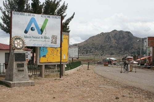
Enter Bolivia.
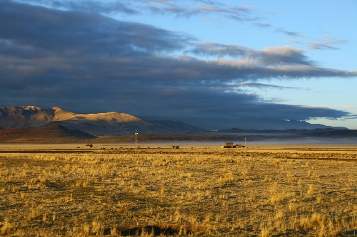
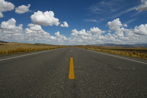
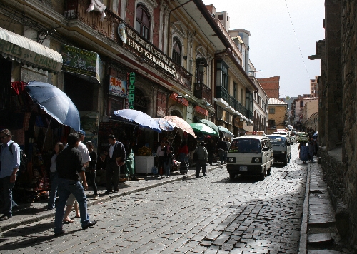
We are flying. Enter the Altiplano—completely flat highlands 4000 metres above sea level spanning hundreds and hundreds of kilometers. Add tailwinds, perfect road surfaces and our pent-up frustration from slogging over dirt roads in the mountains for the past few months. Look at our map; we just left Cusco, and we’re already in La Paz, Bolivia’s capital.
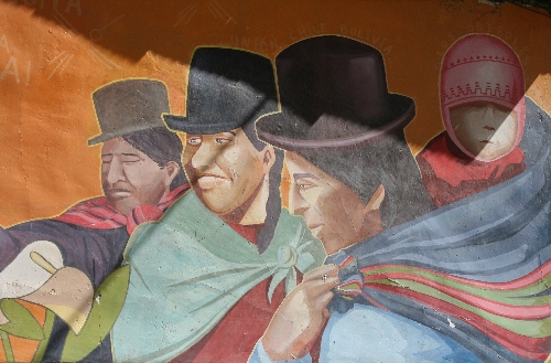
The constant tension we’d grown accustomed to in Peru seems to have melted away in our new host state. It’s supposed to be even poorer here, the poorest country in South America. We don’t see it, though, at least not on the surface. Homes seem sturdier, of better quality and construction. The scary parts we were warned about are not that scary. And there’s something else: Peruvian TV and advertising features—to the point of near exclusivity—sexy white people in tight pants and short skirts, despite the fact that whites make up 15 percent of the population, while nearly half of Peru is indigenous and dirt poor. On our first night in Bolivia in Copacabana, Lucie and I stopped to grab a bite at a chicken place. We looked up and saw an Aymara indigenous woman on the screen in full traditional regalia, including her voluminous skirts, a bowler hat and long braids plaited with wool. She was the news anchor. We found that quite refreshing.
Lucie and I just conquered the Death Road on a side trip from La Paz. We didn’t die, but our bikes bled a little. Google it, if you’re stout of heart. From here we fly down to the Salar Uyuni salt desert (google), to Potosi (probably worth a google), then Sucre (just keep on googling), where we’ll meet with our charity Cyclo Nord Sud’s final partner. We’re hoping to be in Salta, Argentina for Christmas. Stay tuned for details on Lake Titicaca and the Floating Islands and our Death Road gallery!
→ 1 CommentTags: Bolivie · Countries
120 photos du Canyon du canard, Pérou
December 1st, 2010 · 1 Comment


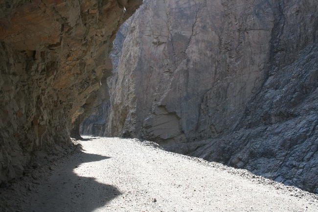
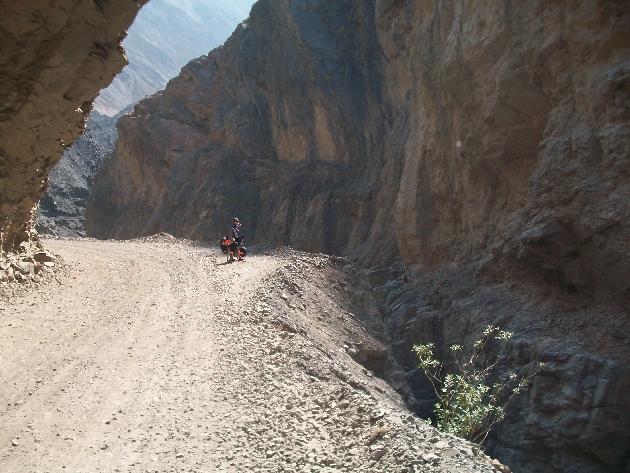
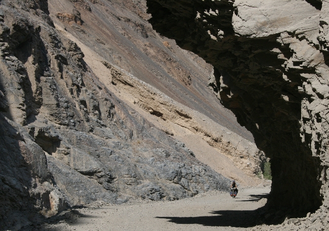
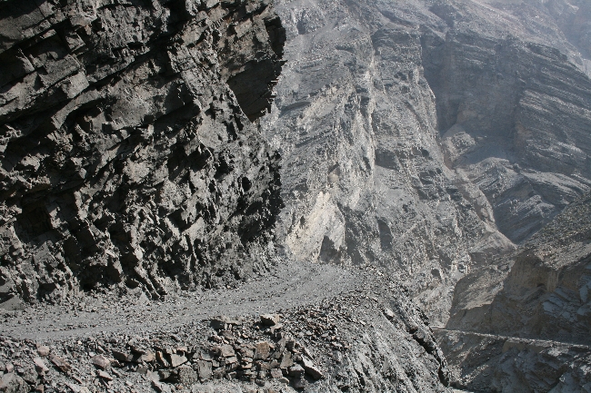


→ 1 CommentTags: Countries · Perou · Perou · Photos
Pour 1$ au Perou…
November 27th, 2010 · 3 Comments
(English follows)
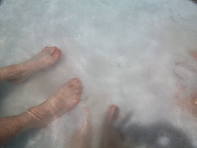
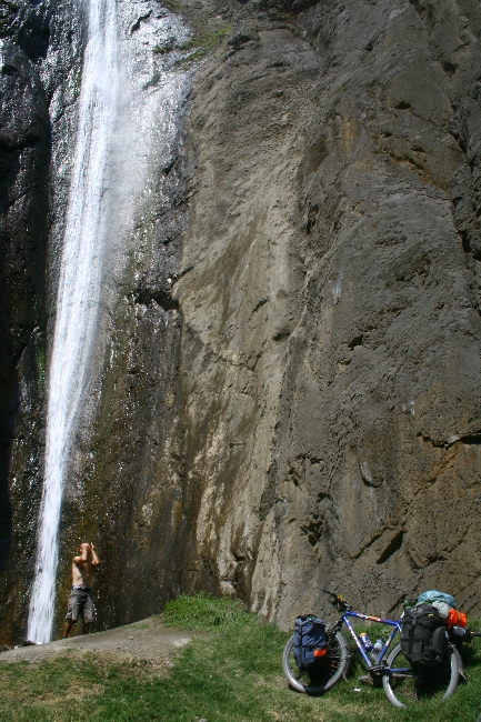
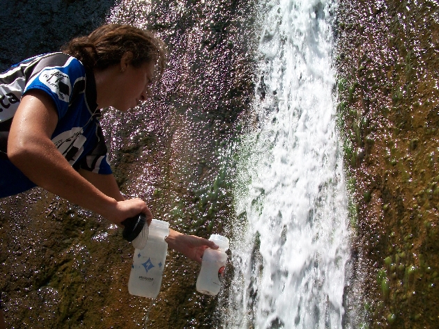
Notre ami Matt nous avait prévenu qu’à deux jours de vélo au Sud de Cuzco se trouvait les eaux thermales volcaniques d’Aguas Calientes… notre meilleur dollar jamais investi au Pérou!
On a hot tip (ha ha) from our pal Matt, who’s just up the road, we stopped for the night at Aguas Calientes, a two-day ride south from Cusco. For one dollar, we could soak in the natural hot springs all we wanted, camp for free and do it all again in the morning! This has to be the best dollar we’ve spent in Peru!
The “gist” of Lucie’s video:
“Sorry, we’re in paradise again! We’re in Aguas Calientes, 4000 m above sea level. It rained last night, but you can see snow just behind us in the mountains. It’s 5 in the morning. We’re (obviously) enjoying our last moments in Peru before crossing into Bolivia. Now you know where to go!”
→ 3 CommentsTags: Countries · Perou
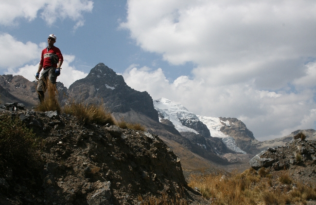
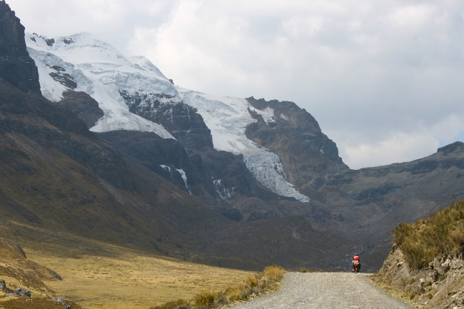
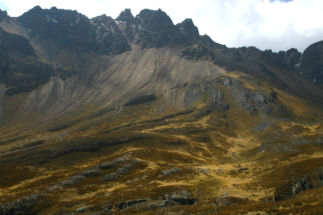
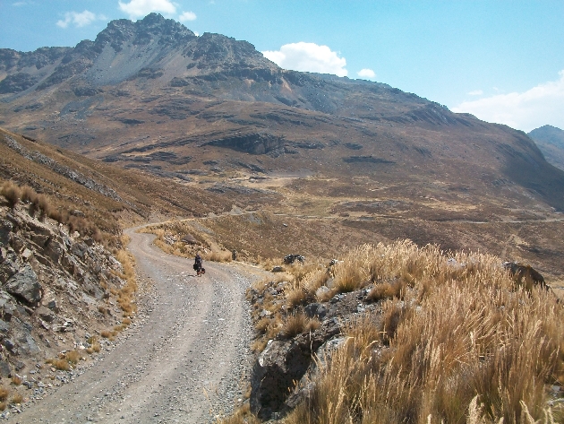
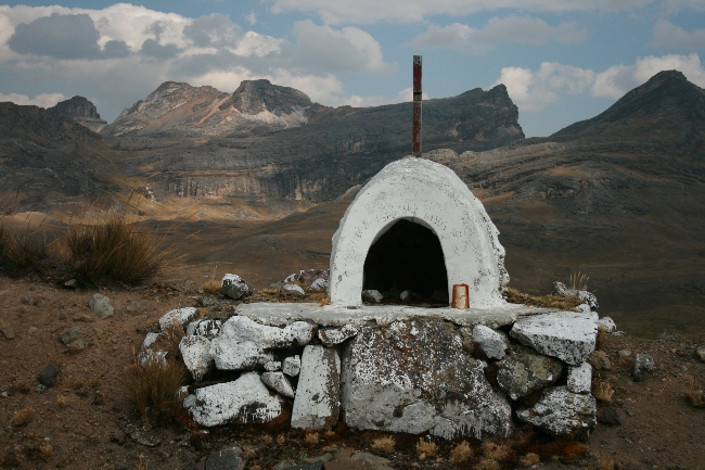
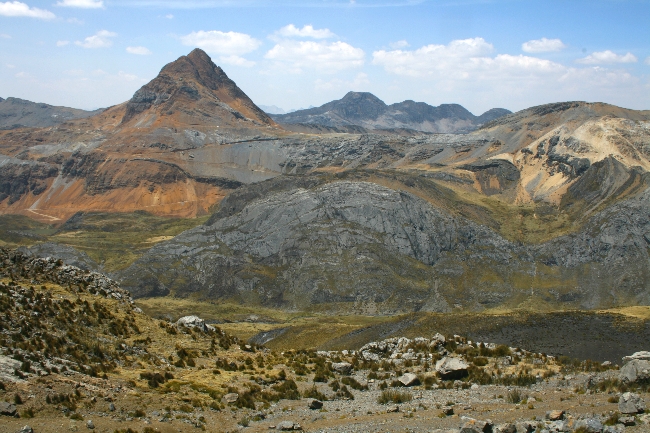
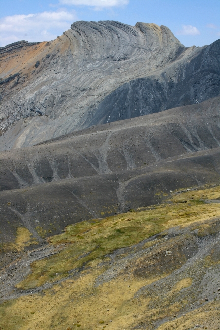
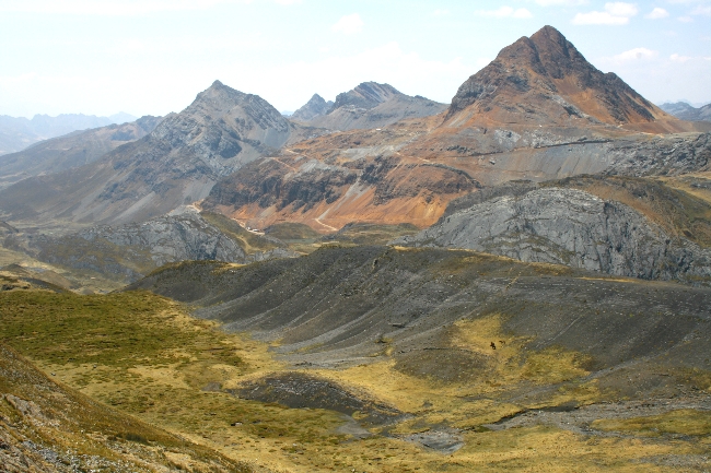
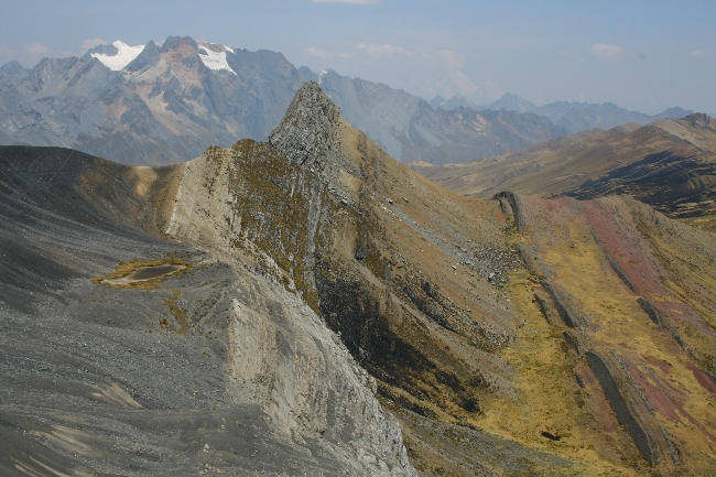
Le Parc national Huascaran en photos
November 25th, 2010 · 1 Comment


→ 1 CommentTags: Countries · Perou · Perou · Photos